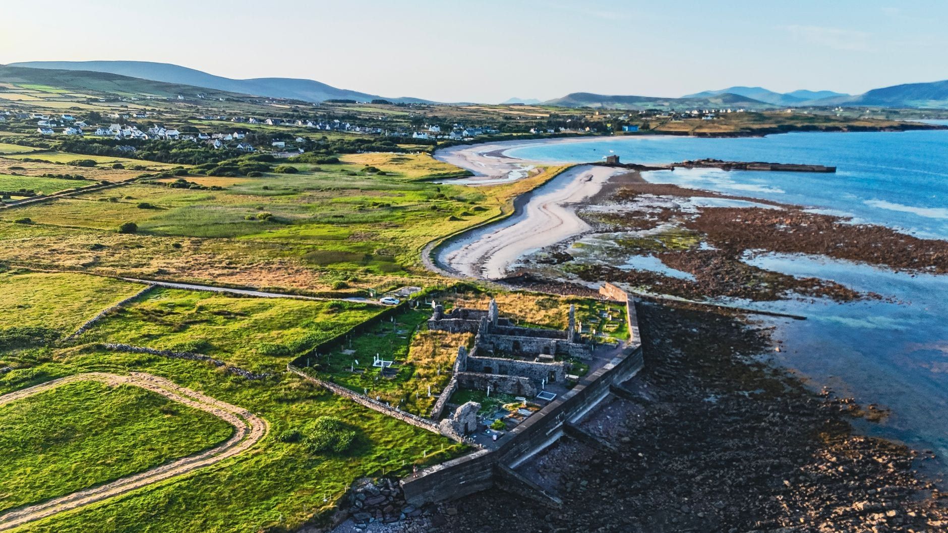
The Ring of Kerry loops 179km around the Iveragh Peninsula, and every guide to it lists a different number of stops. Some count ten, others push past twenty. What actually matters is picking a dozen or so that fit your day instead of chasing all of them.
This guide runs through the route in the order you'll drive it, clockwise from Killarney via Kenmare, then covers the Skellig Ring detour most first-timers skip and a shorter list for a second day. For the fuller backstory on the route, see our Ring of Kerry overview.
Ring of Kerry Route at a Glance
The Ring of Kerry runs 179km (111 miles) around the Iveragh Peninsula in County Kerry, starting and finishing in Killarney. Most drivers head south on the N71 toward Kenmare, pick up the N70 for the long coastal stretch through Sneem, Waterville and Cahersiveen, then return on the N72. Drive it without stopping and it takes 2.5 to 3.5 hours. Add the stops below and a full day runs closer to 7-10 hours.
Direction matters more than you'd think. Tour coaches travel anticlockwise, via Killorglin first, because the coastal roads are too tight for two buses to pass each other. Go clockwise instead, and you'll meet far fewer of them head-on at the blind bends — and you won't get stuck behind one for the next twenty minutes.
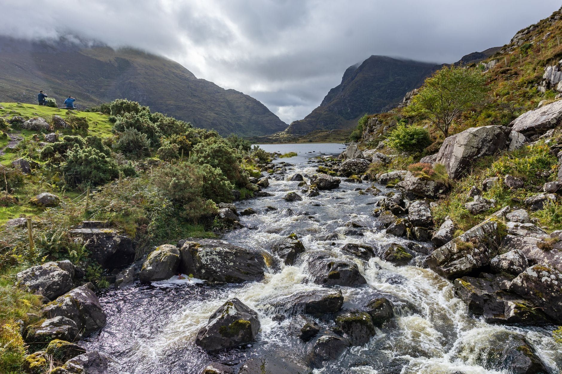
Two extensions sit outside the official loop but are worth building in. The Skellig Ring swaps a stretch of the N70 for a narrower coastal road via St Finian's Bay and Valentia Island, adding about 18km and 20-30 minutes. The Gap of Dunloe, a glacial pass near Killarney, isn't on the Ring at all — it's usually walked, cycled or crossed by jaunting car as its own half-day, not squeezed into the same trip.
If you'd rather skip the navigating altogether, guided day tours from Killarney or tours from Cork cover the same loop with a driver who already knows which bends hide the coaches. Full details on getting to Killarney by car, rail or air are on our directions page.
The Essential Stops (in Driving Order, Clockwise from Killarney)
These are the stops that show up on nearly every itinerary, listed in the order you'll reach them heading south out of Killarney. Treat it as the backbone of the day — the Skellig Ring and the bonus stops further down are for when you've got extra time.
Killarney National Park
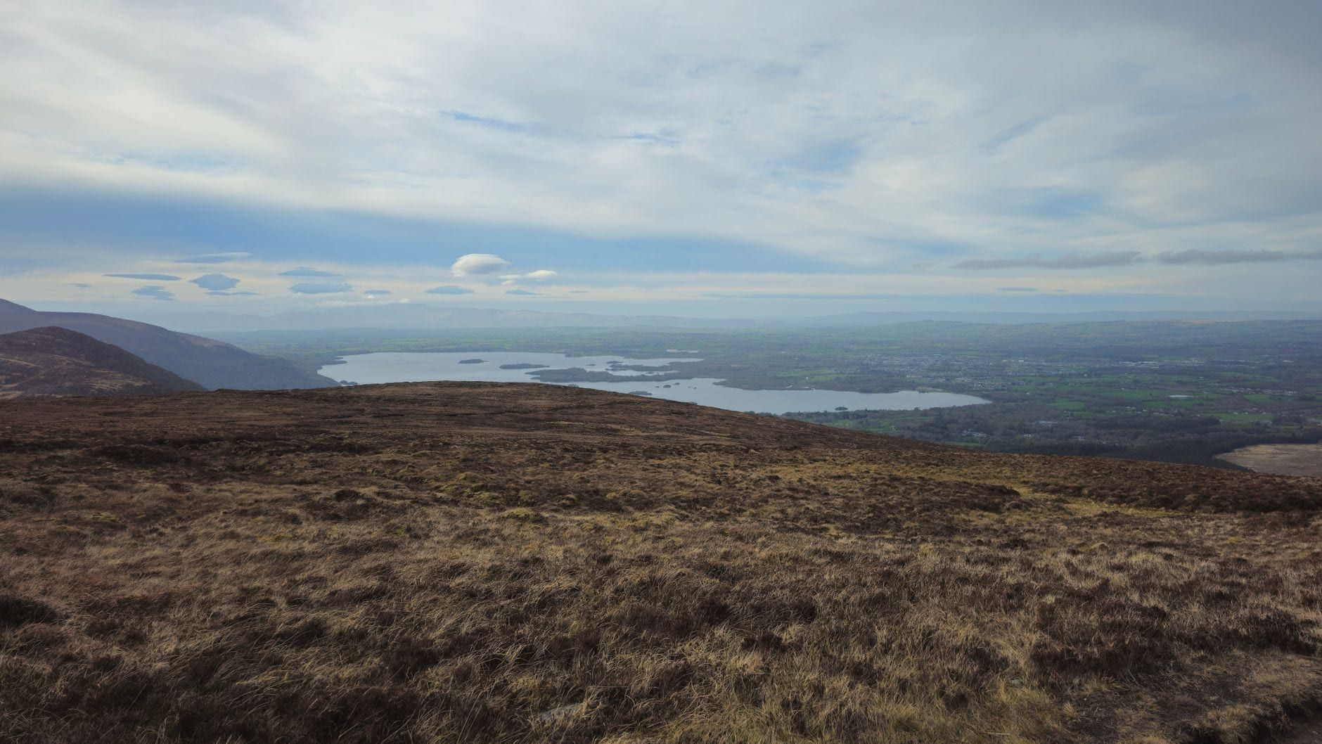
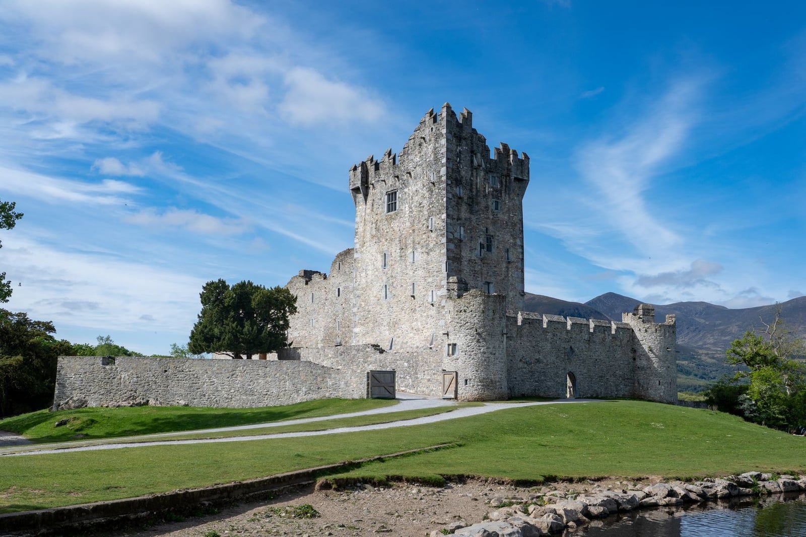
Killarney National Park is the first stretch of the drive and it packs in three stops close together. Ross Castle is a 15th-century tower house right on the shore of Lough Leane — worth the walk up even if you skip the interior. Muckross House, a 19th-century mansion on Muckross Lake, charges €9 for adults to tour the rooms where Queen Victoria once stayed; the gardens are free and wheelchair-friendly. Muckross Abbey, a short walk beyond, was founded in 1448 as a Franciscan friary, and its roofless cloister still shelters a yew tree that's centuries old.
Torc Waterfall
Torc Waterfall drops about 20 metres over a rock face, and it's barely a five-minute walk from the car park to the viewing platform. It's a stretch-the-legs stop rather than a destination — climb the steps beside it for a higher angle if you've got another ten minutes to spare.
Ladies View
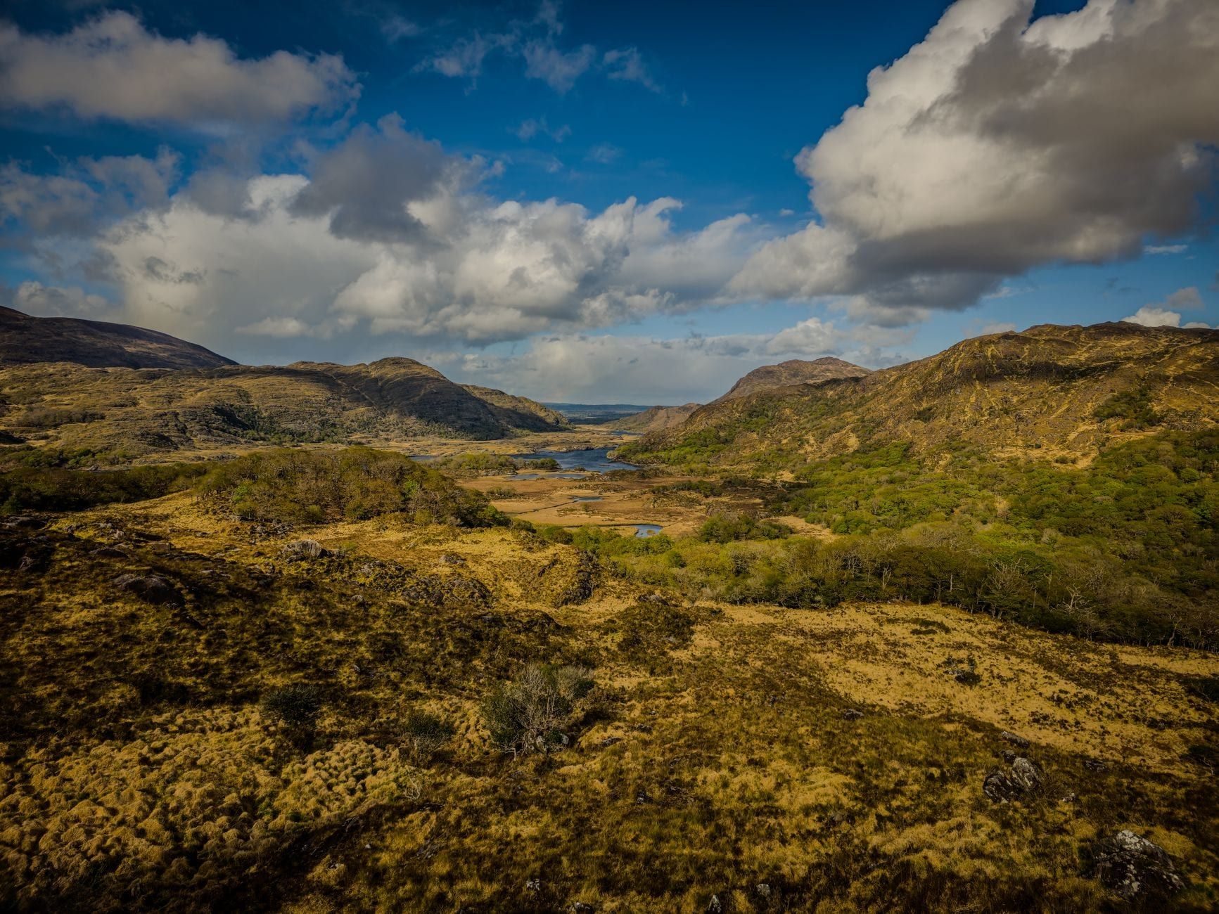
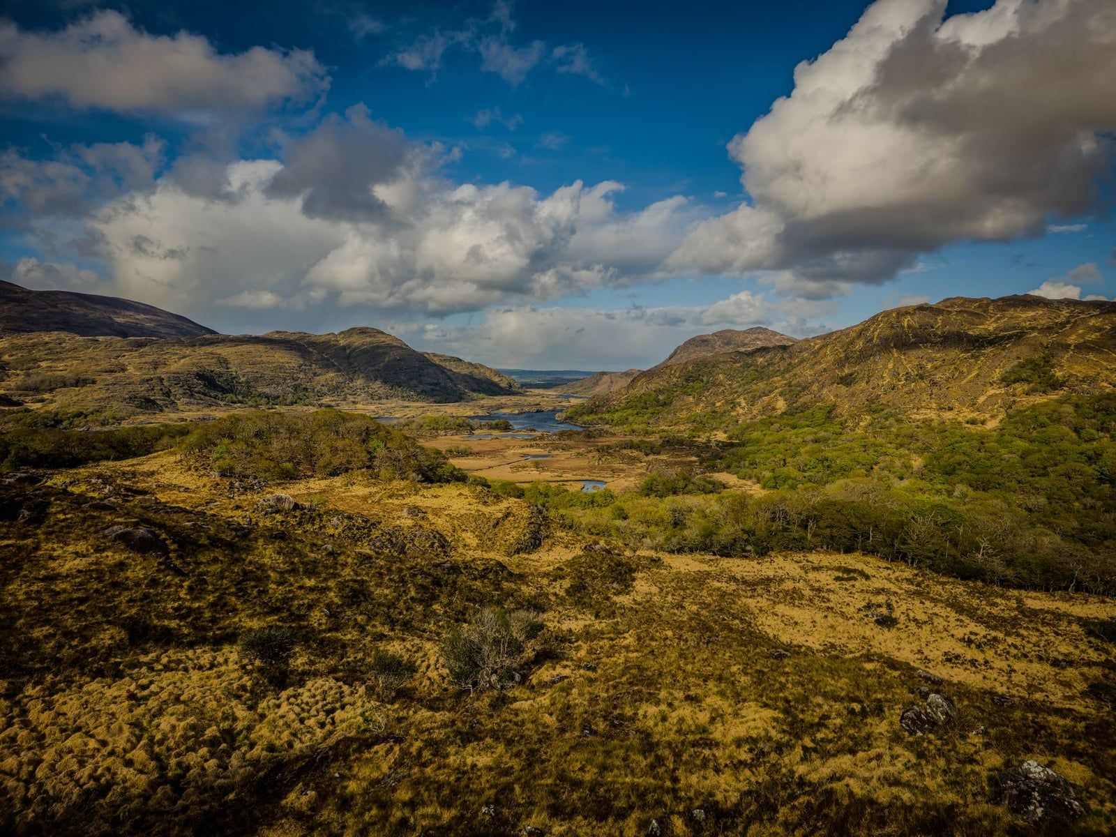
Ladies View looks back over the chain of lakes toward the MacGillycuddy's Reeks, Ireland's highest mountain range. It's named for Queen Victoria's ladies-in-waiting, who stopped here during her 1861 visit and admired the panorama enough that the name stuck. There's a car park and a café right at the viewpoint, so it costs you five minutes, not an hour.
Moll's Gap
Moll's Gap is a mountain pass named after Moll Kissane, who ran an unlicensed pub here for road workers in the 1820s. The Reeks open up on one side, and the road drops toward Kenmare on the other. Good spot for coffee before the descent.
Kenmare
Kenmare sits where the N71 meets the coast, a compact heritage town of colourful shopfronts, a lace-making history, and some of the best seafood on the route. Just outside town, the Kenmare Stone Circle has 15 standing stones dating to roughly 2,500-2,200 BC. Kenmare works well as a lunch stop if you left Killarney early, and it's one of the better overnight bases if you're splitting the Ring into two days.
Sneem
Sneem is a small village built around two greens, with painted houses and a river running through the centre. It's a quick stop rather than a destination — a coffee and a stretch before the road narrows toward Staigue.
Staigue Stone Fort
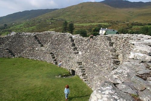
Staigue Fort is a drystone ring fort from around 300-400 AD, its walls still standing 5.5 metres high and 4 metres thick without a scrap of mortar. Reaching it means a detour up a narrow, single-lane road — go slow and be ready to reverse into a passing bay. Entry runs on a €1 donation, dropped in a box at the gate.
Derrynane: Beach, House and Abbey
Derrynane House, just outside Caherdaniel, was home to Daniel O'Connell, the 19th-century political leader known as The Liberator. The house sits inside Derrynane National Historic Park, right beside Derrynane Beach and the 6th-century ruins of Derrynane Abbey on Abbey Island, reachable on foot at low tide. Between the house, the beach and the abbey, this one earns a proper hour rather than a drive-by.
Coomakista Viewpoint
Coomakista is where the road climbs above Derrynane Bay and delivers one of the widest coastal panoramas on the route, with the Skellig Islands visible out to sea on a clear day. There's a small pull-in at the top. Take it — the view doesn't repeat itself further along.
Waterville
Waterville strings its hotels and pubs along a seafront promenade facing Ballinskelligs Bay. A bronze statue of Charlie Chaplin, installed in 1998, stands on the seafront and is the town's best-known photo stop. It also makes a solid lunch or dinner option if you're finishing the loop later in the day.
Cahersiveen and Cahergall Stone Fort
Cahersiveen is the peninsula's main town, and just outside it sits Cahergall Fort, an Iron Age stone ringfort that sees a fraction of the visitors Staigue gets. It's a short, signposted detour worth taking if forts interest you — chances are you'll have the place to yourself.
Rossbeigh Beach
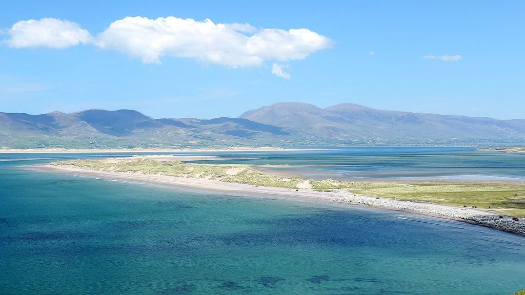
Rossbeigh Beach is a Blue Flag stretch of sand roughly 6-7km long, with views across Dingle Bay to the Dingle Peninsula. It's the last real stop before the road turns back toward Killarney on the N72 — a good spot for one last walk before the drive home.
Worth the Detour: The Skellig Ring Stops
The Skellig Ring branches off the N70 near Waterville and rejoins it near Cahersiveen, adding about 18km and 20-30 minutes to the loop. It swaps a fast main road for a narrower coastal one, and it's where three of the best stops on the whole peninsula sit.
Kerry Cliffs
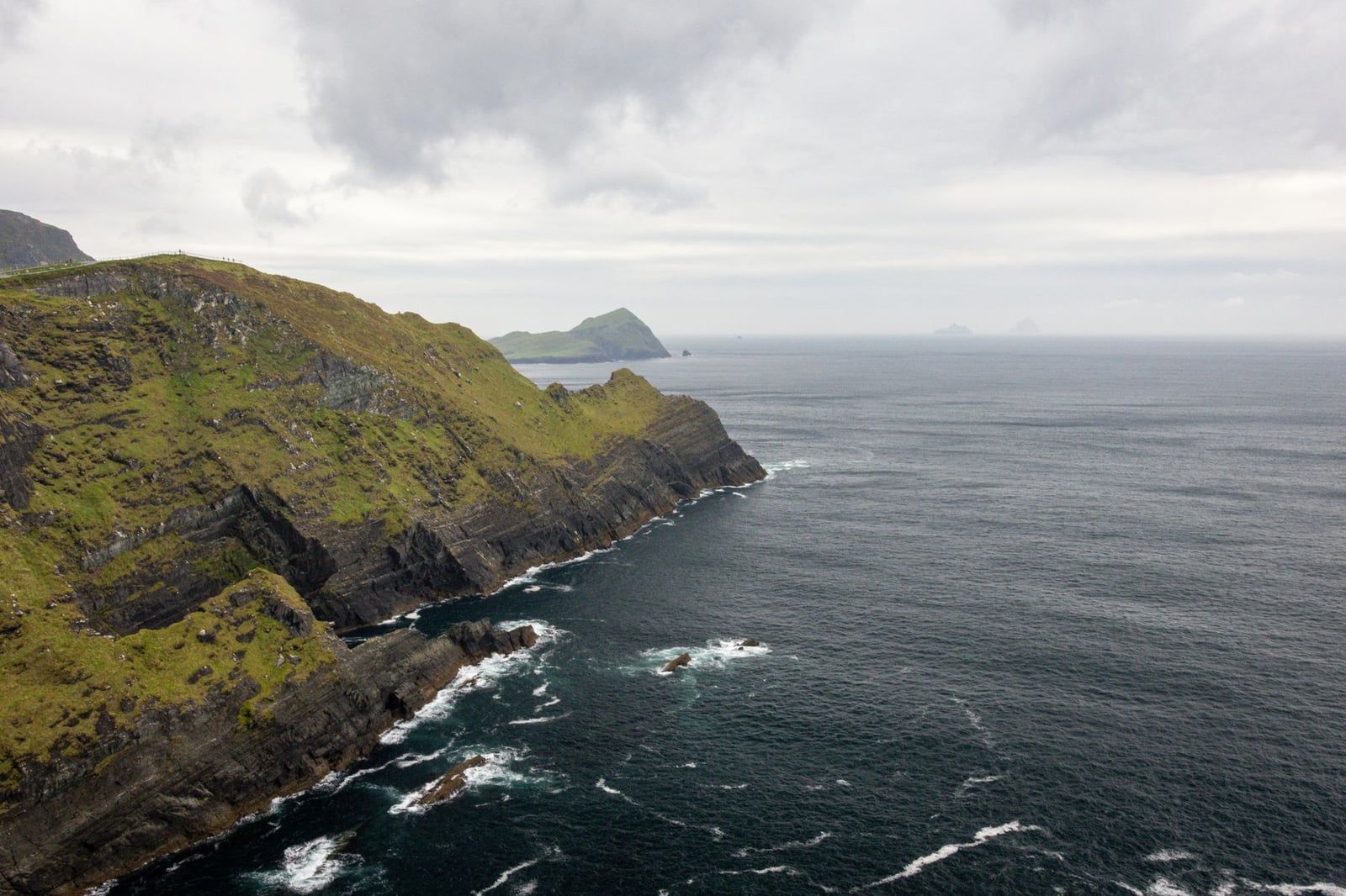
The Kerry Cliffs rise close to 1,000 feet above the Atlantic, higher than the Cliffs of Moher, with none of the crowds. A short walk of about 500 metres, slightly uphill, leads from the private car park to the viewing points. Entry costs €5 per person, and the site opens daily 9:30am-6:30pm, last entry 6pm — check the official update page before you set out, since it closes early in bad weather.
Portmagee
Portmagee is a single-street fishing village and the departure point for boat trips to Skellig Michael, the UNESCO World Heritage-listed island where a 6th-century monastic settlement of stone beehive huts still stands. Landing tours run once daily, departing roughly 8-11am, only from 9 May to 30 September, and cost around €130-€145 per person. Climbing the island's 618 uneven stone steps rules it out for anyone with mobility issues, and there's a minimum age of 14. Book directly with a licensed operator weeks ahead — the season is short and crossings cancel often for rough seas.
Valentia Island
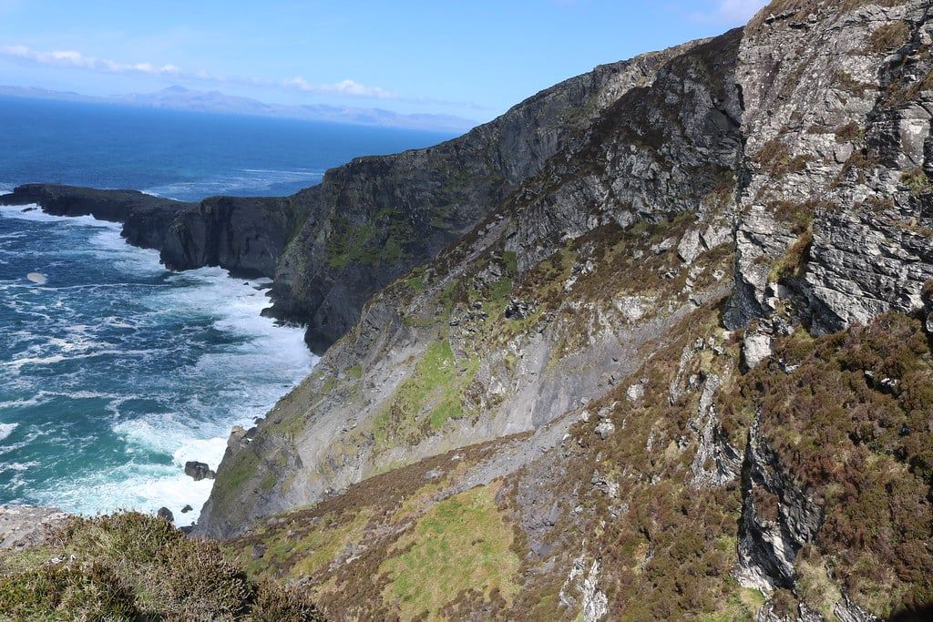
Valentia Island connects to Portmagee by the Maurice O'Neill Memorial Bridge, no ferry required. It holds some of the world's oldest fossilised tetrapod footprints, evidence of early vertebrate life on land. Geokaun Mountain and the Fogher Cliffs, on a signposted road on the island, charge a small entry fee for a panoramic view over Knightstown and across to the Dingle Peninsula.
Ballinskelligs and Skelligs Chocolate
Ballinskelligs has a sandy beach, a ruined castle, and abbey remains sitting right on the sand. It's also inside the Kerry International Dark-Sky Reserve, a 700 km² Gold Tier reserve — one of only three in the world, and the only one in the northern hemisphere — so it's worth a return after dark if you're staying nearby. On the way, the Skelligs Chocolate factory near St Finian's Bay is good for a five-minute break.
Bonus and Off-the-Beaten-Path Stops
None of these are essential, but they're worth knowing about if you've got a second day or you've done the main loop before.
The Gap of Dunloe, a glacial pass near Killarney, is usually walked, cycled or crossed by jaunting car as its own outing rather than folded into the Ring itself. Dunkerron Castle, a ruined tower house near Kenmare, sits right on the water and is visible from the road without leaving the car.
Castlecove Beach and its smaller Caherdaniel stone fort sit a few minutes past Staigue and see a fraction of its visitors. Kells Bay House and Gardens, near Cahersiveen, is a quiet coastal garden estate worth a stop if that's your thing. Above Portmagee, Coomanaspig Pass climbs to a high mountain viewpoint looking straight out over the Skelligs.
Closer to Killarney, Killarney Brewing and Distilling Co. and the Kerry Woollen Mills make decent last stops before the loop closes — one for a pint, one for a jumper.
How to Choose Your Stops: 1-Day vs 2-Day Planning
Trying to hit all 20-plus possible stops in a single day is how trips go wrong — thirty seconds at Ladies View, no time for lunch, Skellig Ring skipped entirely. Pick eight to ten and actually enjoy them.
For one day, prioritise Killarney National Park, Torc Waterfall, Ladies View, Moll's Gap, Kenmare, Staigue Fort, Derrynane and Rossbeigh Beach. That's a full but doable 7-8 hours including lunch. Add the Skellig Ring only if you're on the road by 8am.
| 1-Day Loop | 2-Day Loop | |
|---|---|---|
| Stops covered | 8-10 core stops, Killarney to Rossbeigh | Core stops plus the Skellig Ring and Gap of Dunloe |
| Pace | Full day, 7-10 hours including stops | Relaxed, split across two shorter days |
| Overnight | None — back in Killarney by evening | Kenmare, Sneem or Waterville |
| Best for | First-timers with one day to spare | Repeat visitors or anyone booking Skellig Michael |
Kenmare, Sneem and Waterville are the three towns most often recommended for the overnight if you split the drive — each sits roughly a third of the way round, with enough restaurants and rooms to make stopping easy. Kenmare suits a slower first day; Waterville sets you up to tackle the Skellig Ring fresh the next morning.
Travelling as a couple or a small group, a private tour can build the day around your own pace instead of a fixed stop list. Start before 9am regardless of which plan you pick — coach convoys begin leaving Killarney around then, and the earlier you're moving, the more parking you'll find at Ladies View and the Kerry Cliffs.
Practical Tips for Visiting the Stops
Entry fees along the Ring are mostly small, and it's worth carrying cash for the honesty-box sites. Browse all Ring of Kerry tours if the logistics still feel like a lot to manage solo.
| Stop | Typical fee |
|---|---|
| Muckross House interior | €9 adult / gardens free |
| Kerry Cliffs | €5 per person |
| Staigue Fort | €1 donation |
| Skellig Michael landing tour | €130-€145 per person, May-Sept only |
A few roads are properly narrow. The lane up to Staigue Fort and the approach to Derrynane both run single-track in places, so a smaller car makes life easier and passing bays matter more than horsepower. Check current opening hours and fees before you go, since cliff-top sites shorten their hours in bad weather.
Fuel and food thin out between the main towns, so fill the tank and grab snacks before leaving Killarney or Kenmare. Phone signal holds up fine along the main N70 but turns patchy on the Skellig Ring, so download offline maps beforehand.
Pack for rain no matter the forecast or the season — the Atlantic side of the peninsula makes its own weather. If you'd rather keep both hands on the wheel, a driving audio tour narrates each stop as you go, so you're not fumbling with a guidebook mid-bend.
FAQs
How many stops are there on the Ring of Kerry?
There's no official count — guides list anywhere from 10 to over 20 depending on how granular they get. Most visitors realistically manage 8-10 well-chosen stops in a single day.
Can you do the Ring of Kerry in one day?
Yes. The 179km loop takes 2.5-3.5 hours to drive non-stop, so a full day of 7-10 hours leaves plenty of time for the main highlights, provided you start early and keep your stop list to 8-10 places.
What is the best direction to drive the Ring of Kerry?
Clockwise, via Kenmare first. Tour coaches travel anticlockwise via Killorglin because the roads are too narrow for two buses to pass, so going clockwise cuts down on head-on meetings and convoy delays.
What are the best stops on the Ring of Kerry?
Killarney National Park, Torc Waterfall, Ladies View, Moll's Gap, Kenmare, Staigue Fort, Derrynane, Waterville and Rossbeigh Beach cover the highlights most itineraries agree on.
Is the Skellig Ring worth adding to the Ring of Kerry?
Yes, for most people. It only adds about 18km and 20-30 minutes, and it takes in the Kerry Cliffs, Portmagee and Valentia Island — three stops many travelers rate above anything on the main loop.
Where should I stop for lunch?
Kenmare, Sneem, Caherdaniel and Portmagee all have decent options along the route; Kenmare is the natural lunch stop if you left Killarney early, and Portmagee works well for dinner if you're finishing the Skellig Ring later in the day.
Is the Ring of Kerry drive difficult or dangerous?
Not overall, but a few sections are properly narrow single-track roads, including the approach to Staigue Fort, the road into Derrynane, and stretches of the Skellig Ring. Drive slowly, use the passing bays, and it's manageable for most drivers.