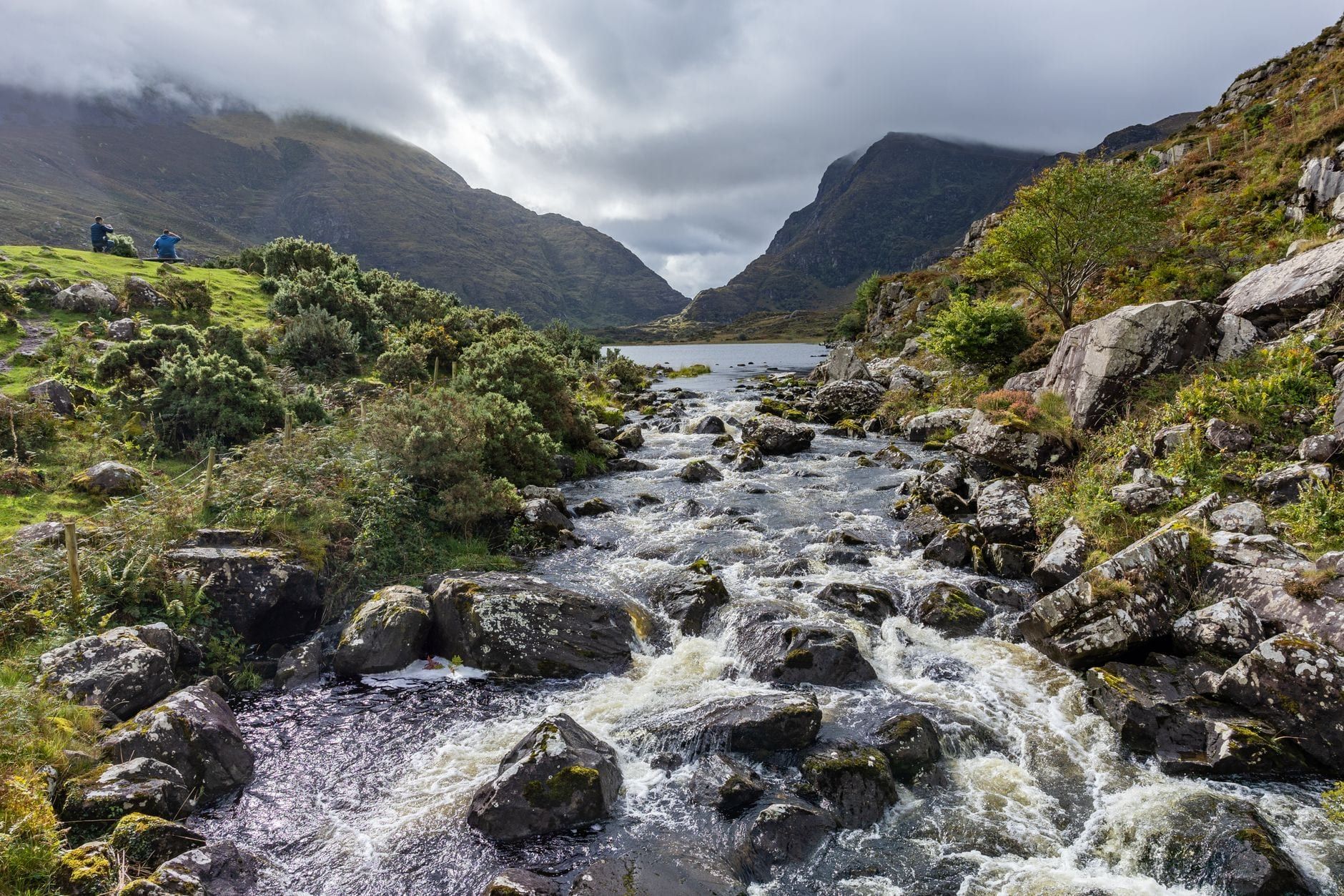
Drive the Ring of Kerry and you'll pass a trailhead every few kilometres: a car park for Torc Waterfall, a farm gate marking the start of the Kerry Way, a pull-in below Staigue Fort. Most visitors never get out of the car for more than a photo. That's a mistake — the best views on the Iveragh Peninsula sit above the road, not beside it.
This guide sorts the options by effort rather than geography alone, so you can match a walk to whatever time you've got that day: an hour before lunch, a full afternoon, or a mountain that needs clear weather and the whole day. It also draws a line between hikes that actually sit on the Ring of Kerry route and ones that don't — Mount Brandon and the Kerry Camino are both in County Kerry, but neither is on this loop, so they're left out.
Ring of Kerry vs. the Kerry Way: Know the Difference
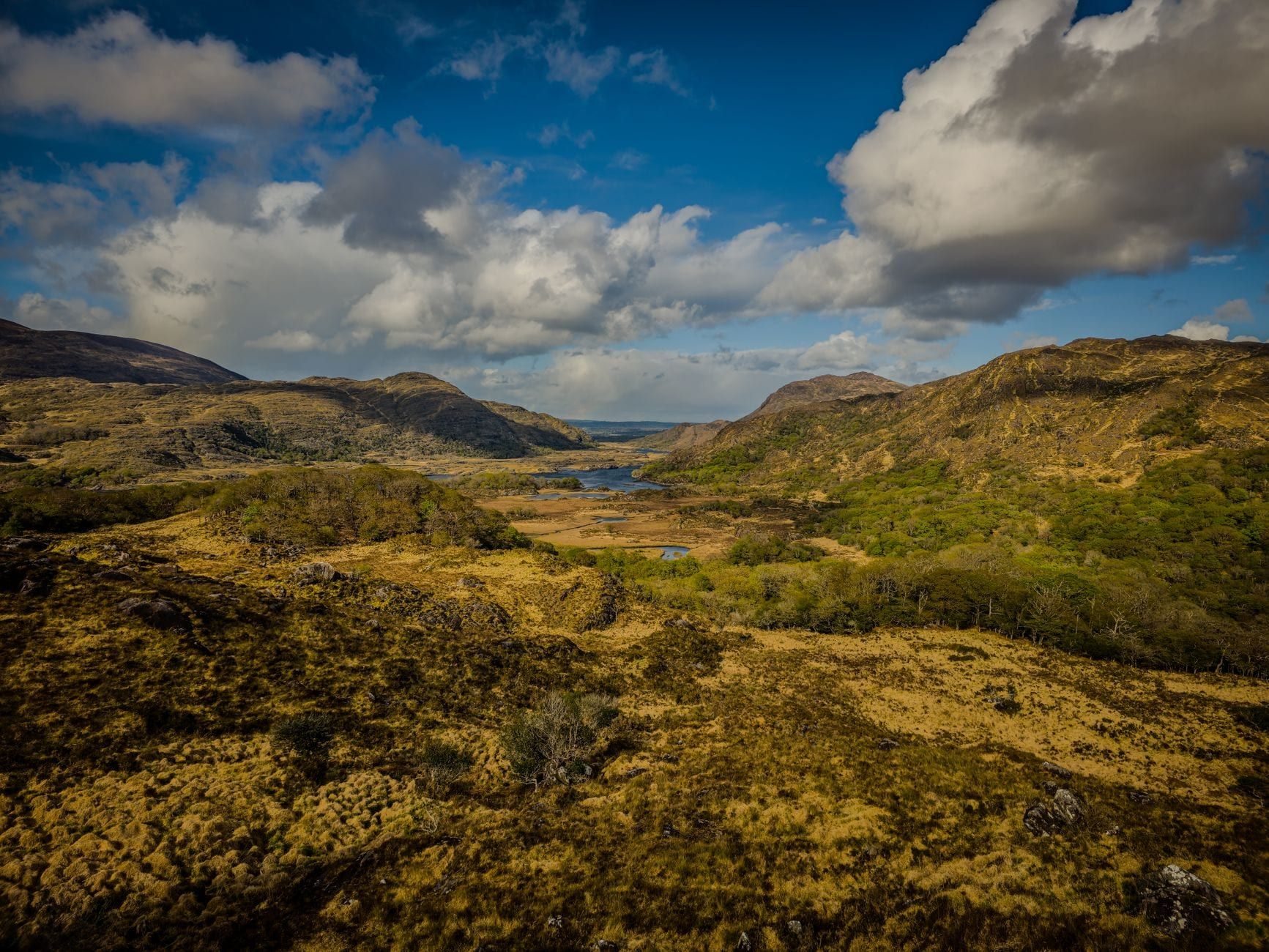
The Ring of Kerry is a 179km circular scenic drive around the Iveragh Peninsula, signposted along the N71, N70 and N72 through Kenmare, Sneem, Waterville and Cahersiveen before looping back to Killarney. It's a road corridor built for cars and coaches, and most of what people call Ring of Kerry attractions sit within a short walk of a car park along it — our Ring of Kerry overview covers the route's history in more depth, including Queen Victoria's 1861 visit that put places like Ladies View on the map.
The Kerry Way is a different thing entirely. It's a 214km waymarked walking trail that loops the same peninsula but ignores the road, climbing into the MacGillycuddy's Reeks and cutting along cliffs and boreens the coaches can't reach. Local hillwalkers with the Laune Mountaineering Club proposed the trail in 1982 and finished waymarking it by 1989. It shares start and end towns with the drive — Killarney, Kenmare — but spends most of its distance somewhere the road never goes.
That distinction shapes the rest of this guide. Short walks branching off the driving route come first, then half-day hikes worth building a touring day around, then the mountain routes that need a full day of their own, and finally the Kerry Way for anyone who'd rather walk the whole peninsula than drive it. If you want the sightseeing rundown for the drive itself, see our guide to every stop on the Ring of Kerry route instead.
Easy & Family-Friendly Walks Along the Ring of Kerry
These three walks sit inside Killarney National Park, need nothing more than decent shoes, and fit into a spare hour between driving stops.
Torc Waterfall Loop
Torc Waterfall drops 20 metres over a mossy rock face a short climb from the lower car park on the N71. The full loop back is about 4km with roughly 179m of elevation gain — 1 to 1.5 hours at an easy pace. Steps get slick after rain, but it's the most walked short trail on the route: free, well signed, done inside a lunch break.
Muckross Abbey to Torc Waterfall
A quieter option links Muckross Abbey, a roofless 15th-century friary near Muckross House, to the Torc Waterfall car park along lakeshore paths inside the national park. It passes Muckross House itself, the Victorian mansion that hosted Queen Victoria in 1861, where a jaunting car (horse-drawn carriage) ride is the alternative for anyone who'd rather not walk the whole way. Combine it with the waterfall loop and you've covered the park's two best short stops on one set of legs.
Muckross Lake and Killarney National Park Lakeside Paths
The Muckross Lake and Friarstown Wood circuit runs about 10km with almost no elevation gain, tracing the shoreline under oak and yew woodland that's stood since Killarney became Ireland's first national park in 1932. It's flat enough for a slow family pace, and tree cover takes the edge off a shower on a wet day. Dogs are welcome on a lead, but camping and open fires aren't allowed anywhere in the park.
Moderate Half-Day Hikes on the Ring of Kerry
Here's the core of the list: seven walks spread clockwise around the peninsula from Killarney to Valentia Island, each worth building a driving day around. Budget half a day for any of them, including the drive to the trailhead.
Gap of Dunloe
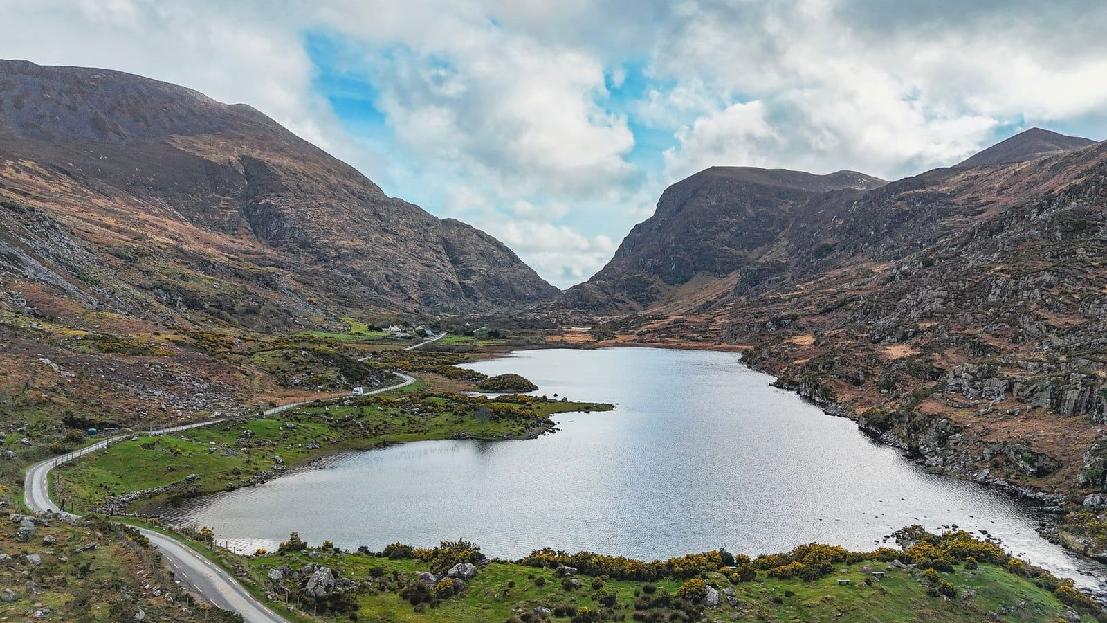
The classic route runs one-way from Kate Kearney's Cottage to Lord Brandon's Cottage, about 11km and 3 to 4 hours through a valley glaciers carved between the MacGillycuddy's Reeks and Purple Mountain. The track climbs gently on tarmac and gravel past a chain of small lakes, narrow enough in places that you can hear your own footsteps between passing jaunting cars. Arrange a pickup or boat transfer at the far end — walking back the way you came doubles the day.
Staigue Fort
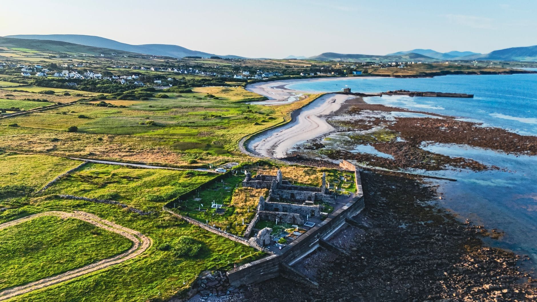
Staigue Fort, outside Sneem, is a dry-stone Iron Age ring fort with walls 5.5 metres high and 4 metres thick, built without mortar. It's a short walk from the car park to the fort itself rather than a hike, with a voluntary donation requested at a farm gate on the way in. Climb the internal steps for a view over the fields to the mountains — five minutes well spent if you're driving past anyway.
Lomanagh Loop
Starting in Sneem, the Lomanagh Loop covers about 10km through woodland and farmland in around 3.5 hours, and it's rated suitable for beginners. It's the least dramatic of the moderate walks — no cliffs, no ridge — which makes it a reliable choice when weather rules out anything more exposed.
Derrynane Loop Walk
From Caherdaniel, the Derrynane Loop climbs through woodland above Derrynane Beach for about 9km and 3.5 hours, passing Derrynane House, the ancestral home of Daniel O'Connell, and a stretch of the Kerry Way itself. Derrynane National Historic Park adds 1.5km of dune-backed shoreline below the trail, so plan to finish on the sand if the tide's out. Check current opening hours and fees for Derrynane House if you want the interior as well as the grounds.
Skellig Ring and the Kerry Cliffs
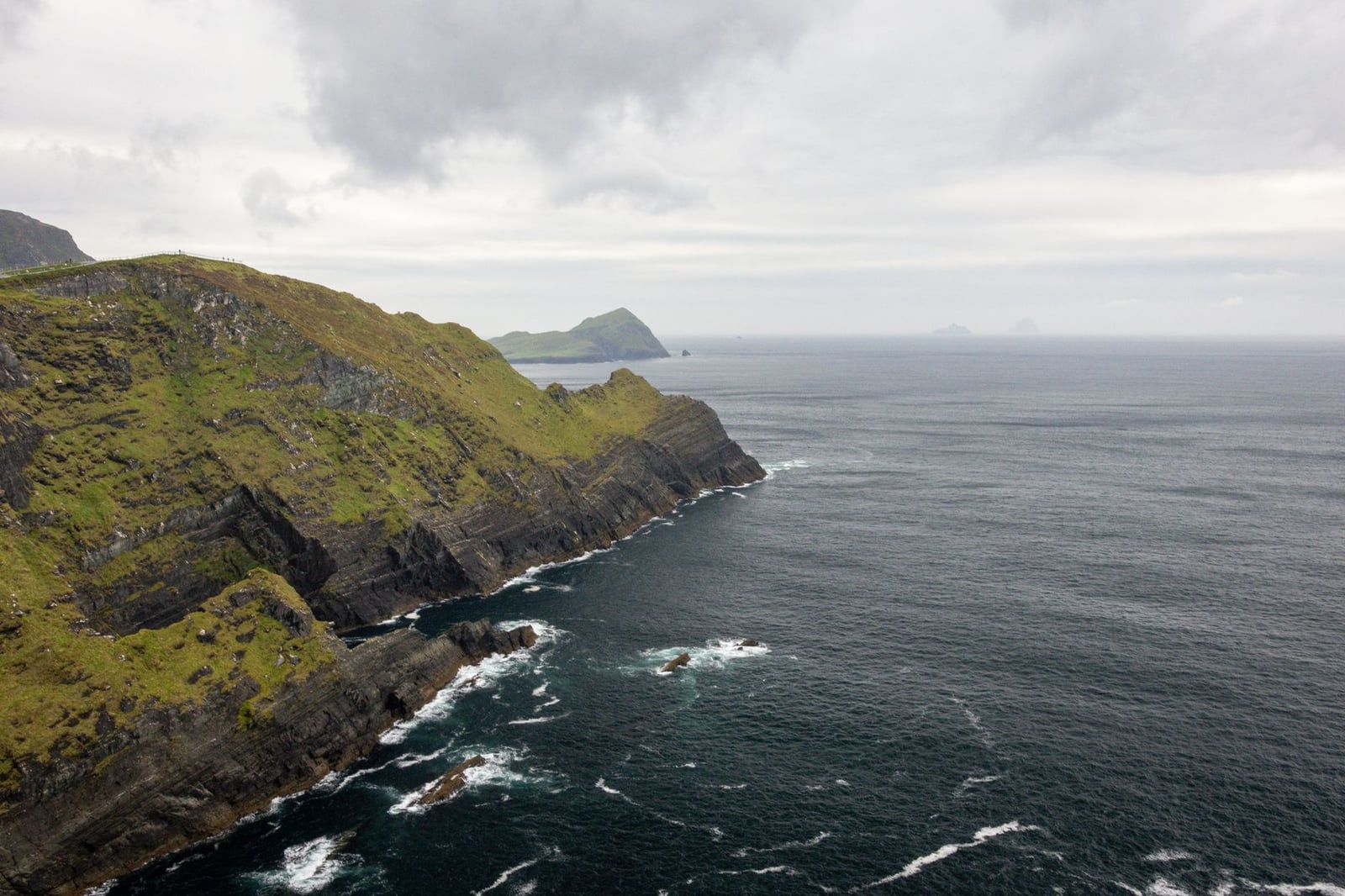
Beyond Portmagee, the Skellig Ring detour reaches the Kerry Cliffs, a short walk of about 500m from the car park to viewpoints over the Atlantic toward Skellig Michael and Puffin Island. Entry costs €5 per person, and the site closes early in bad weather. Boats landing on Skellig Michael itself run daily only between 9 May and 30 September, cost roughly €145 per person for the 2026 season, and involve climbing 618 uneven stone steps to the monastic huts — book weeks ahead, since capacity is limited and crossings get cancelled for rough seas.
Valentia Island
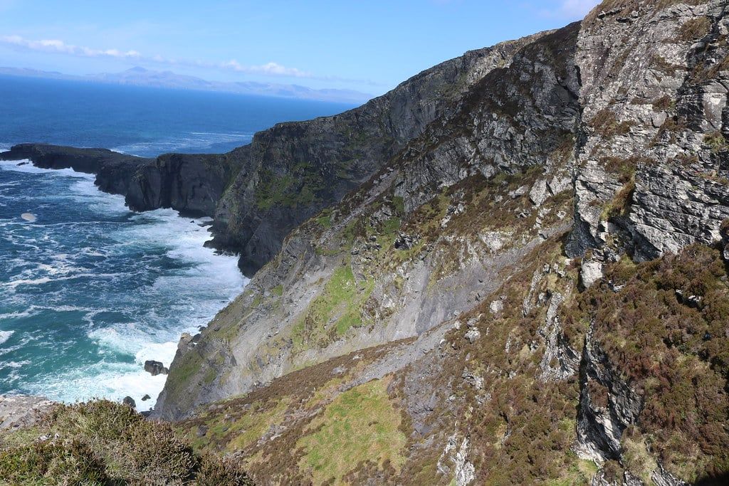
Cross the bridge at Portmagee or take the ferry from Reenard Point to reach Valentia Island, where the Bray Head loop and the walk up Geokaun Mountain to the Fogher Cliffs both start. The island also holds a 385-million-year-old tetrapod trackway, among the oldest evidence anywhere of a four-legged animal walking on land. Geokaun's summit road gets you most of the way up by car, so the walk itself is short — the reward is the cliff view, not the climb.
Beentee Loop and Cnoc na dTobar
Above Cahersiveen, the Beentee looped hike stays moderate, with coastal and mountain views for a couple of hours' effort. Cnoc na dTobar, a pilgrim path climbing to 690m right beside it, is a tougher step up — save it for the mountain-hike list below if Beentee leaves you wanting more.
| Hike | Distance | Time | Difficulty | Nearest Town |
|---|---|---|---|---|
| Gap of Dunloe | 11km one-way | 3-4 hours | Moderate | Beaufort/Killarney |
| Staigue Fort | Under 1km return | 15-30 minutes | Easy | Sneem |
| Lomanagh Loop | 10km | About 3.5 hours | Moderate, beginner-friendly | Sneem |
| Derrynane Loop Walk | 9km | About 3.5 hours | Moderate | Caherdaniel |
| Skellig Ring & Kerry Cliffs | About 1km at the cliffs | 30-45 minutes | Easy | Portmagee |
| Valentia Island (Bray Head/Geokaun) | Short, varies by route | 1-2 hours | Easy-Moderate | Portmagee/Knightstown |
Challenging Mountain Hikes on the Ring of Kerry
These four routes are full-day undertakings that need fitness, proper boots and a real weather check, not just a rain jacket in the boot.
Carrauntoohil via Devil's Ladder
Carrauntoohil, at 1,038m, is Ireland's highest mountain, and the standard route starts from Cronin's Yard and climbs the Devil's Ladder gully to the summit ridge. Round trip is roughly 11.5 to 12km with about 931m of elevation gain, taking 4.5 to 6 hours. The ladder itself is loose scree and wet rock in a narrow gully. Plenty of hikers get up fine and slip on the way down — treat the descent as the harder half.
Torc Mountain
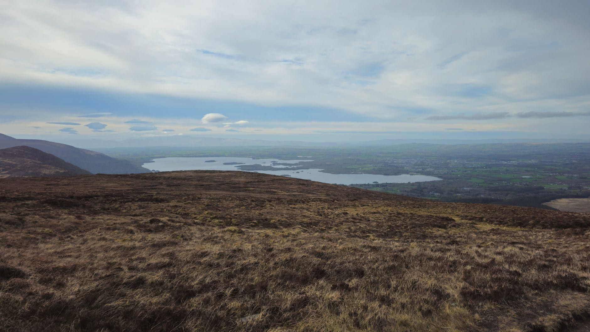
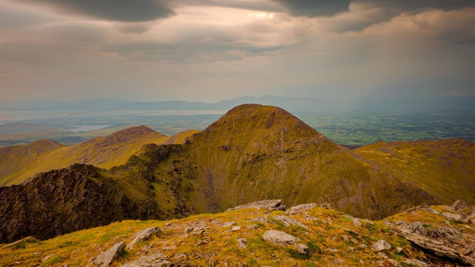
Torc Mountain shares a car park with Torc Waterfall but keeps climbing where the waterfall crowd turns back, following a boardwalk of timber steps up the Old Kenmare Road track above the tree line. The summit clears the woodland for a view over the full chain of the Lakes of Killarney toward the Reeks. It's a stiffer climb than anything in the easy or moderate categories, but nothing like the exposure of Carrauntoohil — a solid warm-up for anyone building toward the bigger mountain.
Lough Googh Loop
The Lough Googh Loop runs about 10km in around 5 hours, with narrow, exposed ridge sections that call for a head for heights. It's recommended for experienced hikers only. This is scrambling terrain in places, not a marked path with handrails.
Cnoc na dTobar
Cnoc na dTobar, the pilgrim path above Cahersiveen, tops out at 690m and is the natural next step once Beentee feels too easy. Both share a trailhead area, so you can size up the terrain from below before committing to the longer climb.
The Kerry Way: Walking the Full Loop
Walking the entire Ring of Kerry rather than driving it means the Kerry Way, a 214km trail split into 9 official stages that most people cover in 8 to 10 days. Stages run from a gentle 18km day between Glencar and Glenbeigh up to 30km days on the western and southern legs, with a shorter 13km coastal alternative available between Waterville and Caherdaniel. Expect to average somewhere between 20 and 25km a day across the full loop.
Starting from Killarney, the stages run Killarney–Black Valley (22km), Black Valley–Glencar (20km), Glencar–Glenbeigh (18km), Glenbeigh–Cahirciveen (28km), Cahirciveen–Waterville (30km), Waterville–Caherdaniel (28km, or 13km via the coastal path), Caherdaniel–Sneem (19km), Sneem–Kenmare (30km), and Kenmare–Killarney (25km) to close the loop.
The trail is waymarked with a yellow walking-man symbol and mostly runs on firm boreens, old coach roads and mass paths across private farmland, walked by agreement with landowners rather than by public right of way — stick to the marked route and close any gates you open. Carry OS Discovery sheets 78, 83 and 84. Total ascent across the whole route adds up to about 5,400m, yet the highest point of the entire Kerry Way, at the top of the Lack Road, is only 385m above sea level. It's a trail built around passes, not summits.
White-tailed eagles, reintroduced to Killarney National Park in 2007, work the thermals above the Black Valley stage, and seals haul out in Kenmare Bay near the trail's final stretch. Little Skellig, visible from the Portmagee side, holds a gannet colony of around 26,000 nests, one of the reasons the offshore islands feel alive even from a distance.
Day walkers don't need a guide anywhere on this list; the paths are waymarked and short enough to navigate with a map. Multi-day Kerry Way walkers more often book through self-guided operators who handle luggage transfer between towns and pre-book accommodation each night, which matters on stages where the next bed is a 25km walk away with no bus back if you've booked wrong. Independent walkers who want backup on the trickier mountain stages can also arrange a private guide for a day or two.
Planning Your Hike: Best Time, Safety & Gear
May, June and September give the most reliable combination of long daylight and lighter crowds, on both the road and the trail. October is typically the wettest month on the peninsula, and May the driest, while summer daytime highs average 15 to 21°C. July and August also bring the heaviest coach and rental-car traffic to trailhead car parks. The Kerry Way itself is walkable March through October in good conditions; outside that window, expect short daylight and winter lows of 4 to 7°C. September's shoulder-season calm is covered in more depth in our guide to the Ring of Kerry in autumn.
Pack waterproof hiking boots broken in over 8 to 10 weeks beforehand, not straight out of the box, plus a proper waterproof jacket and trousers and non-cotton base layers that won't chill you if they get wet. Carry paper maps and a compass even if you're also running a GPS app or offline maps, and bring a charged power bank — batteries drain fast in the cold and wet.
Most moderate and mountain routes here cross private farmland, so keep to marked paths, close gates you open, and give livestock room, especially around lambing season. Parking at popular trailheads like Ladies View, Torc, and the Gap of Dunloe fills early in July and August — arrive before 9:30am or expect to park well down the road. Our directions guide covers how to reach the peninsula in the first place, whether you're coming from Killarney, Cork, or Kerry Airport.
Before any summit attempt on Carrauntoohil or the exposed ridge at Lough Googh, check a mountain-specific forecast rather than the general town forecast — conditions at 1,000m bear little resemblance to conditions at sea level, even on a clear morning in Killarney. If you'd rather cover some of this ground on a bike than on foot, our cycling guide covers which stretches suit a bike better than boots.
Frequently asked questions
What's the difference between the Ring of Kerry and the Kerry Way?
The Ring of Kerry is the 179km road you drive; the Kerry Way is a separate 214km waymarked trail that loops the same Iveragh Peninsula on foot, using mountain passes and coastal paths instead of the tarmac.
How long does it take to hike the whole Ring of Kerry (the Kerry Way)?
Most walkers take 8 to 10 days to cover all nine official stages, averaging between 18km and 30km a day depending on the stage.
What is the best easy hike on the Ring of Kerry?
The Torc Waterfall loop in Killarney National Park is the easiest and most popular: about 4km, 1 to 1.5 hours, with a clear path and a payoff waterfall right at the start.
Can you hike Carrauntoohil from the Ring of Kerry?
Yes. Cronin's Yard, close to Killarney, is the standard trailhead for the Devil's Ladder route up Ireland's highest peak (1,038m), a strenuous 4.5 to 6 hour round trip that needs good fitness and clear weather.
Is the Gap of Dunloe walk difficult?
No, it's moderate: roughly 11km one-way over 3 to 4 hours on a gently climbing road and track between Kate Kearney's Cottage and Lord Brandon's Cottage, manageable for most reasonably fit walkers.
What is the best time of year to hike the Ring of Kerry?
May, June and September, for the most reliable weather and lighter crowds. October is the wettest month, and July-August the busiest and warmest, at 15-21°C.
Do I need a guide to walk the Kerry Way or Ring of Kerry hikes?
No for day walks — they're waymarked and short enough to navigate with an OS Discovery map (sheets 78, 83 and 84). Multi-day Kerry Way walkers more often use self-guided operators for luggage transfer and booking accommodation instead of a walking guide.
Are Ring of Kerry hikes suitable for kids or beginners?
Yes, for the easy category — Torc Waterfall, the Muckross lakeside paths and the Derrynane Beach walk are short, well-surfaced and low on elevation gain. Mountain routes like Carrauntoohil and the Lough Googh Loop are not: save those for older kids and experienced adults.