About All Tours From Killarney ToursFrom Cork ToursPrivate ToursDriving Audio Tours Directions Hours & Fees Guides
Find Tours 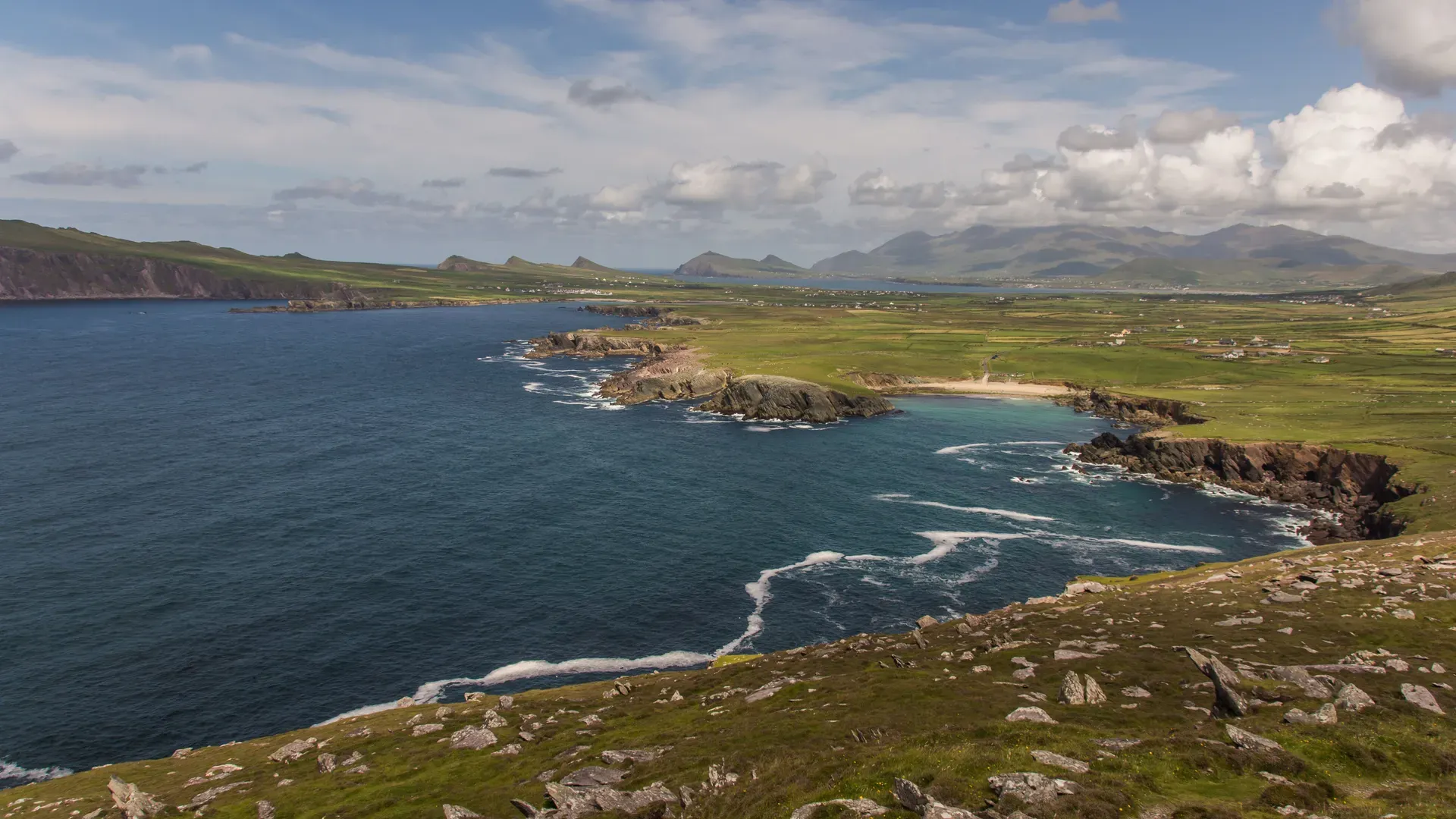
The Ring of Kerry is a 179-kilometre circular driving route around Ireland's Iveragh Peninsula. It links the country's highest mountains, 10,000 hectares of national parkland, and Iron Age stone forts along a single continuous road.
The Ring of Kerry traces 179 kilometres of tarmac around the edge of the Iveragh Peninsula in southwestern Ireland. The N71, N70, and N72 roads form a continuous loop starting and ending in Killarney. Drivers navigate narrow coastal stretches bounded by the Atlantic Ocean to the west, Dingle Bay to the north, and Kenmare Bay to the south. Inland, the route cuts through the foothills of the MacGillycuddy's Reeks. This mountain range holds Carrauntoohil, Ireland's highest peak at 1,038 metres.
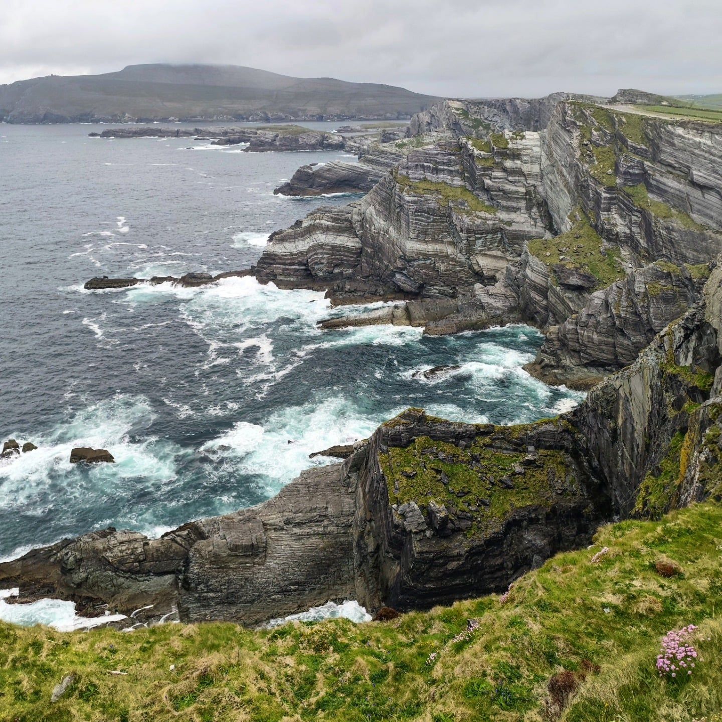
The circuit strings together distinct environments. You drive past the oak and yew woodlands of Killarney National Park, open boglands, and sandy beaches at Derrynane and Rossbeigh. Sea cliffs rise sharply near Portmagee. The Kerry Cliffs offer unobstructed Atlantic views toward the Skellig Islands from a short walk off the main road. The site charges €5 for access. The paths are exposed to high winds.
Tour coaches run the loop anticlockwise. They leave Killarney around 9:00 am and head toward Killorglin, passing through Glenbeigh, Cahersiveen, and Waterville. So which direction should you drive? Self-drive visitors should travel clockwise via Kenmare and Sneem. This avoids head-on encounters with buses on blind bends. The roads are too tight for two large vehicles to pass easily. You'll often have to reverse to a passing place if you meet a coach going the wrong way.
The drive takes about 3.5 hours without stopping (though nobody actually does it that fast). Most people need a full day to walk the trails, photograph the lakes, and eat lunch. Skip the single-day rush if you can. Splitting the drive over two days leaves time for the Skellig Ring detour and Valentia Island. May, June, and September offer the best balance of daylight and manageable traffic. July and August bring heavy congestion to the coastal bottlenecks. Cyclists have a separate signposted route that uses quieter back roads where possible. Hikers can follow the Kerry Way, a long-distance trail that roughly parallels the driving route.
Cork is the closest major city, sitting about 90 kilometres east of Killarney. You can drive from Cork Airport in under two hours. Irish Rail runs direct trains from Dublin Heuston to Killarney with a quick change at Mallow. Kerry Airport in Farranfore is just 20 minutes away, handling daily flights from Dublin and London. Once you arrive, car rental agencies operate directly out of Killarney town centre.
Local communities walked trade and pilgrim paths across the Iveragh Peninsula for centuries before any paved road existed. Bronze and Iron Age settlers built drystone ring forts along these routes to protect their families and livestock. Staigue Fort near Sneem survives from this era. Its circular walls stand over five metres high and four metres thick. The builders stacked the stones entirely without mortar. Cahergal and Leacanabuaile forts near Cahersiveen show similar early medieval engineering.
The early Christian monks who settled Skellig Michael sought extreme isolation. They carved their steps directly into the sandstone and survived on rainwater, fish, and seabird eggs. Their beehive huts were constructed using the same corbelling technique seen at Staigue Fort, angling the stones outward to shed rain. The monks eventually abandoned the island in the 13th century, moving to the mainland at Ballinskelligs as the climate cooled and storms worsened.
During the 19th century, the peninsula became the political base of Daniel O'Connell. Known as 'The Liberator', he campaigned for Catholic emancipation from his family estate at Derrynane House near Caherdaniel. The property is now a national historic park. Tourism began to shape the region shortly after his death. Queen Victoria visited in 1861. She stayed in a specially prepared bedroom at Muckross House, a Victorian mansion beside Muckross Lake. Her entourage stopped at a panoramic overlook above the Lakes of Killarney. The spot is still called Ladies View. This royal visit put the lakes and the surrounding mountains on the Victorian tourist map.
In 1932, the Muckross Estate was donated to the Irish Free State. This 10,000-hectare parcel of mountains, lakes, and woodlands became Killarney National Park. It was the country's first national park. Modern infrastructure followed throughout the 20th century. The government laid tarmac, erected signposts, and designated the N70, N71, and N72 as a continuous tourist itinerary.
The route now forms a core stretch of the Wild Atlantic Way. It draws heavy international traffic from spring through autumn. The physical roads remain narrow and winding, following the contours of the old cart tracks. Tour buses frequently clog the coastal sections in July and August. Visit in May or September to find quieter tarmac and longer daylight hours. If you drive in winter, expect early closures at cliff viewpoints due to Atlantic storms. The Skellig Michael boat tours shut down entirely from October through April.
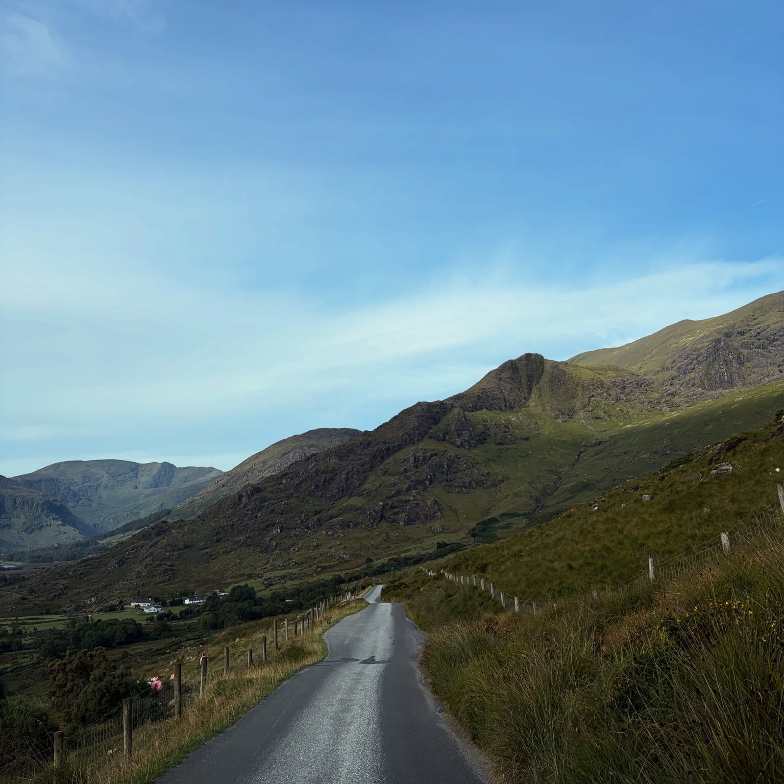
The Iveragh Peninsula is Ireland's largest peninsula. The Ring of Kerry traces its perimeter, exposing drivers to a sharp transition between alpine and marine environments. The MacGillycuddy's Reeks dominate the inland terrain. Glacial action carved deep valleys through these mountains, leaving behind the Lakes of Killarney and the narrow Gap of Dunloe. The Gap of Dunloe is a narrow mountain pass between steep valley walls and is traditionally explored on foot, by bike, or by pony-and-trap.
The national park protects 10,000 hectares of this terrain. It contains the ancient Reenadinna yew woodland and a large native red deer herd. Don't light fires of any kind here. Rangers actively enforce high fire-risk notices during dry spells.
Along the coast, the geology shifts to exposed rock and steep drops. The Kerry Cliffs near Portmagee present sheer, unfenced edges facing the Atlantic. Offshore, the Skellig Islands rise abruptly from the ocean. Skellig Michael sits 12 kilometres from the mainland. It is a jagged crag of Old Red Sandstone holding a 6th-century monastic site. Visitors climb 618 uneven stone steps to reach the beehive huts. The crossing is rough. Boats cancel trips frequently due to high swells. The landing season runs strictly from 9 May to 30 September.
The coastal stretches hide several large sandy beaches. Rossbeigh Beach extends into Dingle Bay, providing a long spit of sand backed by dunes. Derrynane Beach offers sheltered swimming waters near the historic house. Further along the Skellig Ring, St Finian's Bay faces the open Atlantic and catches heavy swells, making it a popular spot for local surfers. These beaches lack lifeguards outside the peak summer months, so check local tide charts before entering the water.
The night sky over the peninsula is heavily protected. A 700-square-kilometre area forms the Kerry International Dark-Sky Reserve. It's the only Gold Tier reserve in the northern hemisphere. Light pollution is strictly controlled, making Waterville and Ballinskelligs prime locations for naked-eye stargazing. Park at the St Finian's Bay beach lot after midnight on a clear night.
The road surface itself dictates the pace of the trip. The N70 and N71 feature blind bends, sudden narrowing, and limited shoulders. There aren't any tolls, but the driving demands constant attention. Bring your own wheelchair if you need one. Sites like the Kerry Cliffs require a 500-metre uphill walk from the car park over uneven ground. Muckross House offers paved paths and is fully wheelchair accessible.
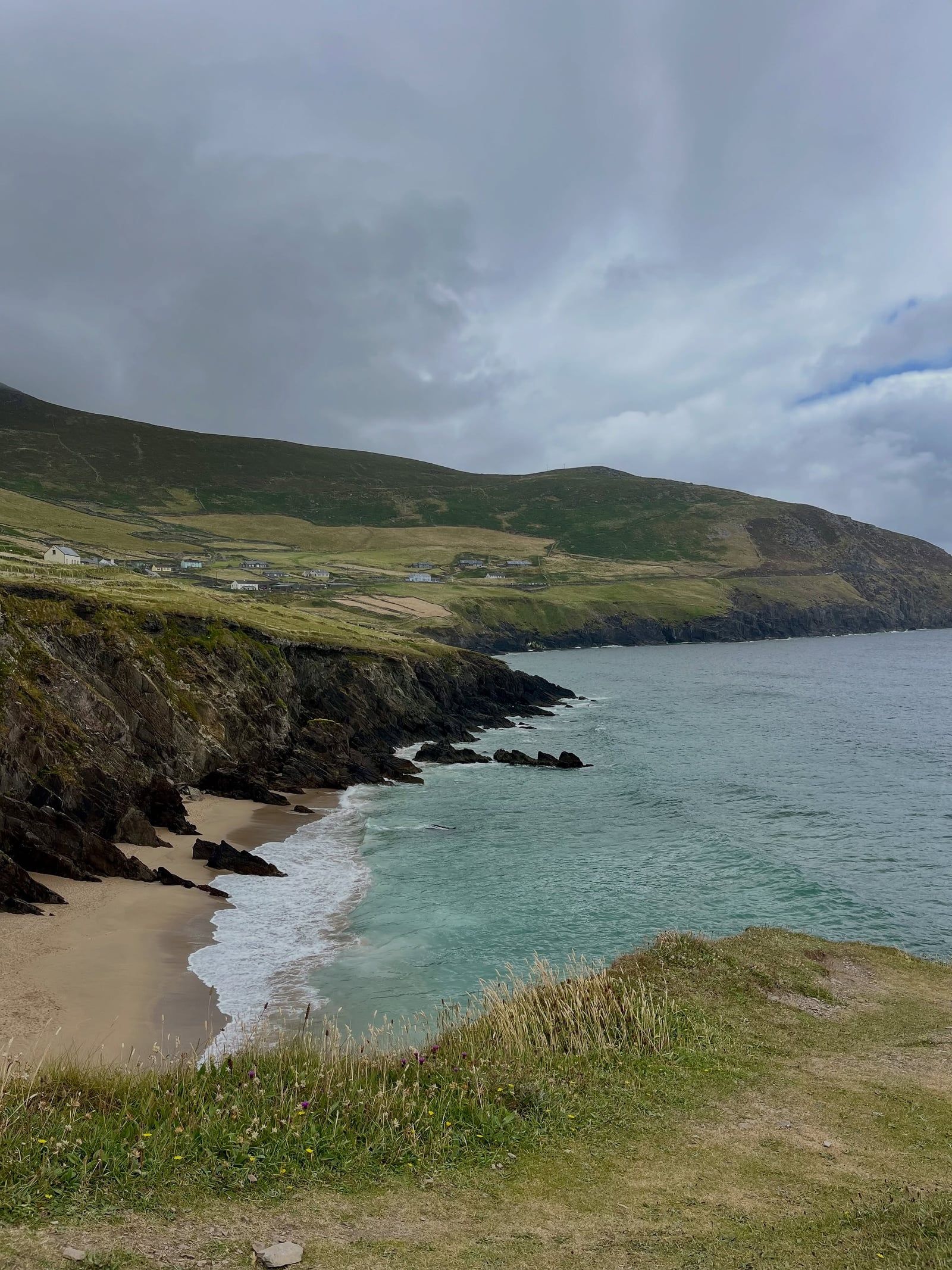
The Ring of Kerry maps the historical boundaries of early Christian Ireland and ancient Gaelic strongholds. The drystone walls of Staigue Fort and Cahergal show how Iron Age societies defended their settlements. These structures relied entirely on gravity and precise stone placement. They still stand today. The forts function as physical records of early community organization in County Kerry. Entry to Staigue Fort requires a small voluntary donation.
Religious isolation defined the area's offshore culture. Monks retreated to Skellig Michael in the 6th century to live at the edge of the known world. They built corbelled stone huts that survived centuries of Atlantic storms. The island remains a site of pilgrimage. Modern visitors arrive on licensed boats rather than currachs. The €145 ticket price and strict 14-year-old age minimum reflect the harsh, unprotected nature of the site. Drone flights are banned over the island and all other national monuments without advance written permission from the Office of Public Works.
Inland, the route preserves the legacy of 19th-century Irish politics. Derrynane House acts as a physical record of Daniel O'Connell's life and campaigns. The surrounding 1.5 kilometres of shoreline and sand dunes form a national historic park. The region also maintains traditional agricultural practices. Muckross Traditional Farms operate exactly as Irish farms did in the 1930s. Workers manage the land with draft horses rather than tractors.
Kenmare anchors the southern section of the route with its own distinct heritage. The town became famous in the 19th century for its needlepoint lace, a craft introduced by local nuns to help families survive the famine years. You can still see original Kenmare lace at the local heritage centre. Just outside the town centre sits the Kenmare Stone Circle, one of the largest in southwest Ireland, consisting of 15 heavy boulders arranged around a central boulder burial.
The route continues to shape local life. Nine towns and villages depend on the traffic flowing along the N70 and N72. Killarney, Killorglin, and Kenmare act as primary staging grounds for the daily coach departures. Local pubs in these towns serve as hubs for traditional Irish music sessions during the summer months. Book a jaunting car ride through the Muckross estate to see the grounds at a slow pace. The horse-drawn carriages offer an alternative to walking the paved paths of the national park.
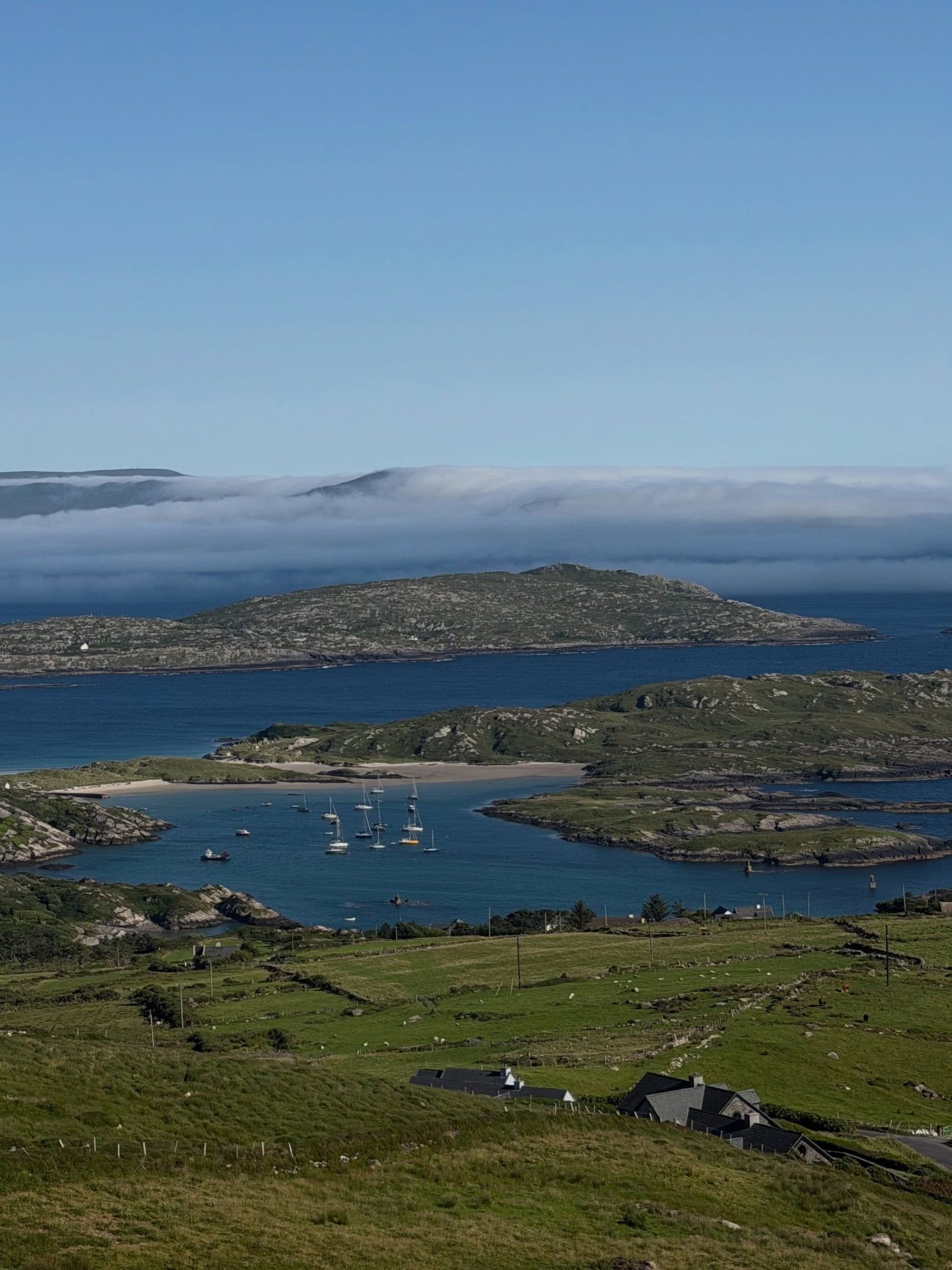
The Kerry International Dark-Sky Reserve is the only Gold Tier reserve in the northern hemisphere.
Tour buses drive the route anticlockwise by informal convention to avoid getting stuck on narrow roads.
Reaching the monastic site on Skellig Michael requires climbing 618 uneven, unprotected stone steps.
The 10,000-hectare Killarney National Park was Ireland's first national park, established in 1932.
Ladies View got its name in 1861 when Queen Victoria's ladies-in-waiting admired the panoramic scenery.
The five-metre-high stone walls of Staigue Fort were built entirely without mortar during the Iron Age.
The continuous 179-kilometre loop passes through exactly nine towns and villages.
The 179 km loop takes about 3.5 hours of pure driving time. Most visitors budget a full day of 5 to 8 hours to allow for photo stops, attraction visits, and lunch. Many travelers spread it over two days to fit in Killarney National Park and the Skellig Ring.
Drive clockwise, starting toward Kenmare. Tour coaches travel anticlockwise via Killorglin because the narrow roads make it difficult for them to pass each other. Driving clockwise reduces your chance of getting stuck behind slow-moving buses.
The Ring of Kerry road itself is free to drive or cycle. Only specific attractions along the route charge fees. Muckross House charges €9.00 for adult entry, and the Kerry Cliffs charge €5 per person.
Yes, licensed boat operators run landing tours from Portmagee between 9 May and 30 September. Tickets cost around €145 per person. Visitors must be at least 14 years old and capable of climbing 618 uneven stone steps.
May, June, and September offer the best balance of good weather, long daylight, and lighter traffic. July and August are the warmest months but bring heavy tour-bus and rental-car congestion to the narrow roads.
Yes, there is a signposted Ring of Kerry cycling route that uses quieter roads where possible. It includes Valentia Island and is distinct from the main driving route. Hikers can also walk the Kerry Way trail.
The route passes through nine towns and villages in sequence. You will drive through Killarney, Beaufort, Killorglin, Glenbeigh, Cahersiveen, Waterville, Caherdaniel, Sneem, and Kenmare before returning to Killarney.
Yes, Skellig Michael landing tours have limited daily capacity and sell out quickly. Operators run one departure per day between 8:00 am and 11:00 am. Book directly with an operator well ahead of your visit.
Yes, you can visit several prehistoric stone ring forts along or near the route. Staigue Fort near Sneem features walls over 5 metres high and 4 metres thick. Cahergal and Leacanabuaile forts sit near Cahersiveen.
Accessibility varies heavily by site. Muckross House gardens and some paths in Killarney National Park are wheelchair-friendly. Sites like the Kerry Cliffs and Staigue Fort require walking over uneven ground with no on-site wheelchair rental available.
Browse verified tours with free cancellation and instant confirmation.
Find Tours