About All ToursFrom Killarney ToursFrom Cork ToursPrivate ToursDriving Audio Tours Directions Hours & Fees Guides
Find Tours 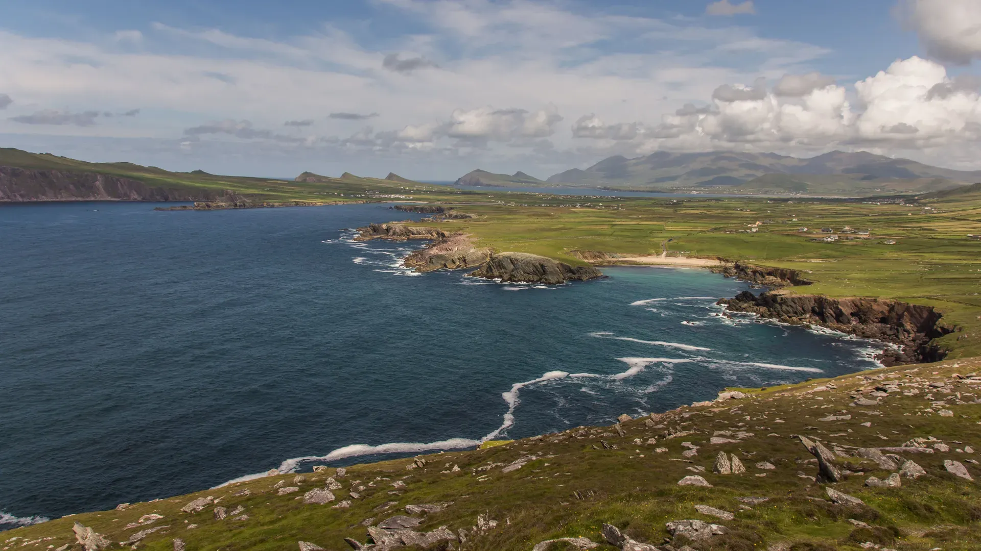
Explore the stunning Iveragh Peninsula at your own pace with an app-based driving audio tour of the Ring of Kerry. These self-guided routes start in Killarney and provide offline maps, route planners, and location-triggered stories straight to your phone.
 Free Cancellation
 This 120-mile narrated driving tour loops through the Ring of Kerry's stone forts, mountain passes, and coastal cliffs.
 Free Cancellation
 This GPS-triggered audio tour guides you through 125 miles of the Iveragh Peninsula's coast, forts, and castles.
Read what travelers share about their experience visiting Ring of Kerry — from practical tips to personal highlights.
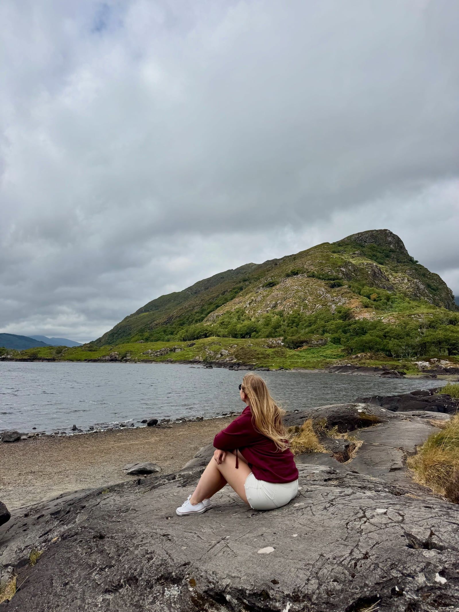
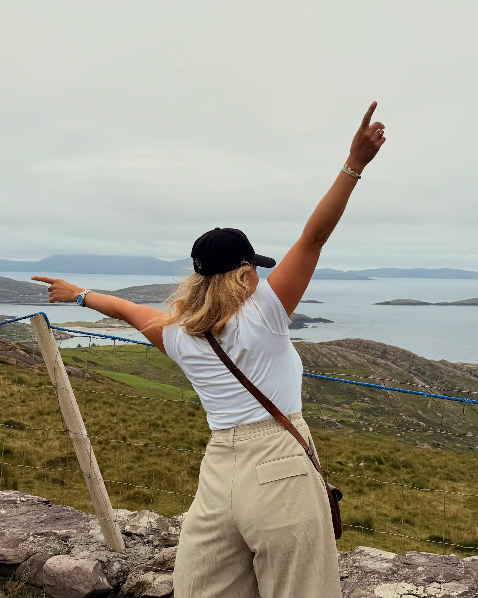
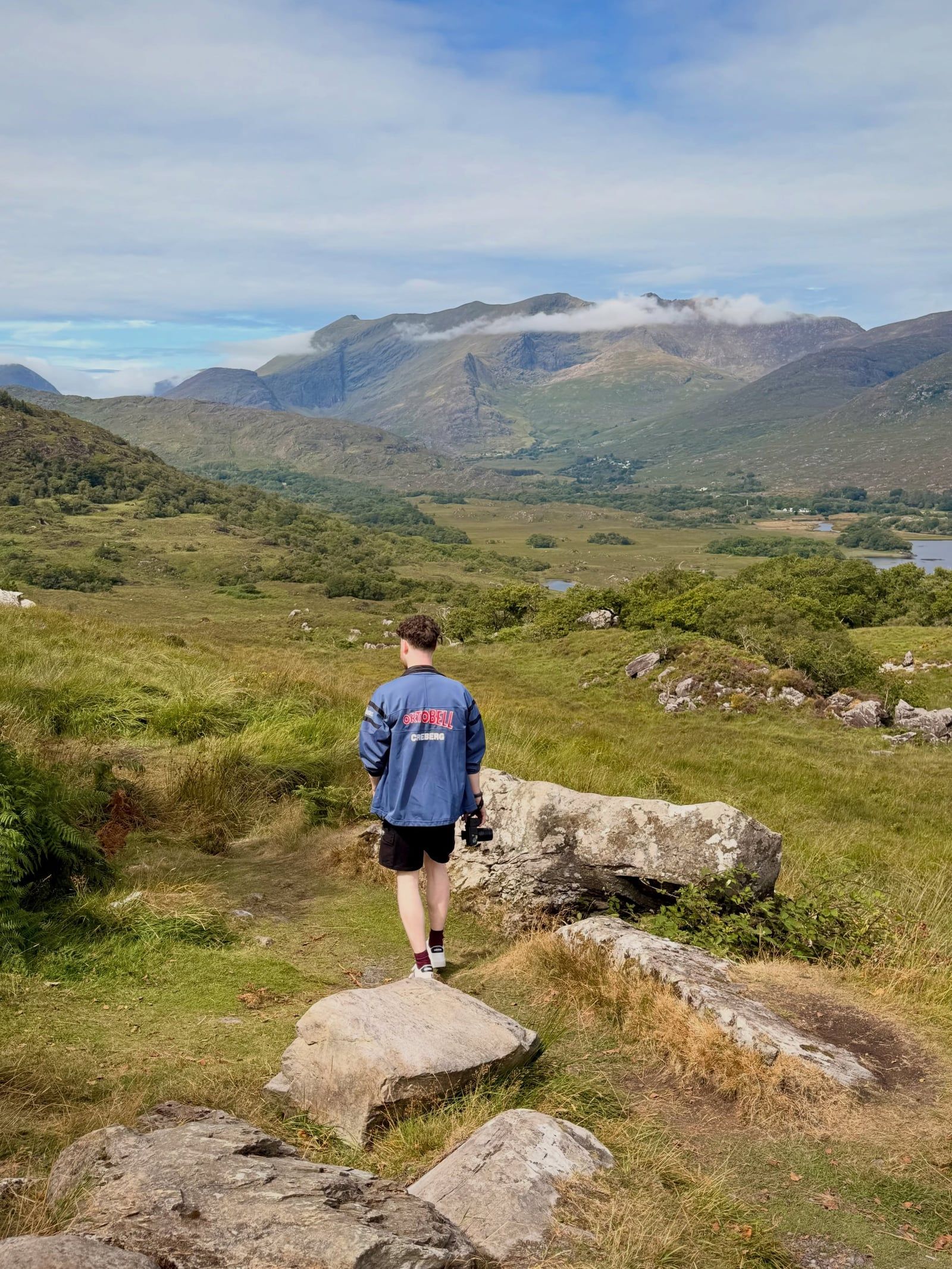
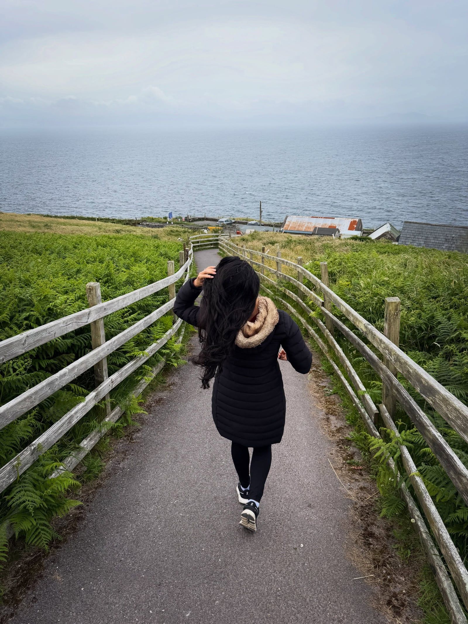
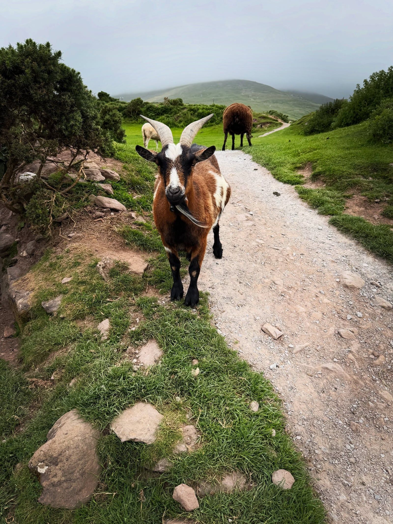
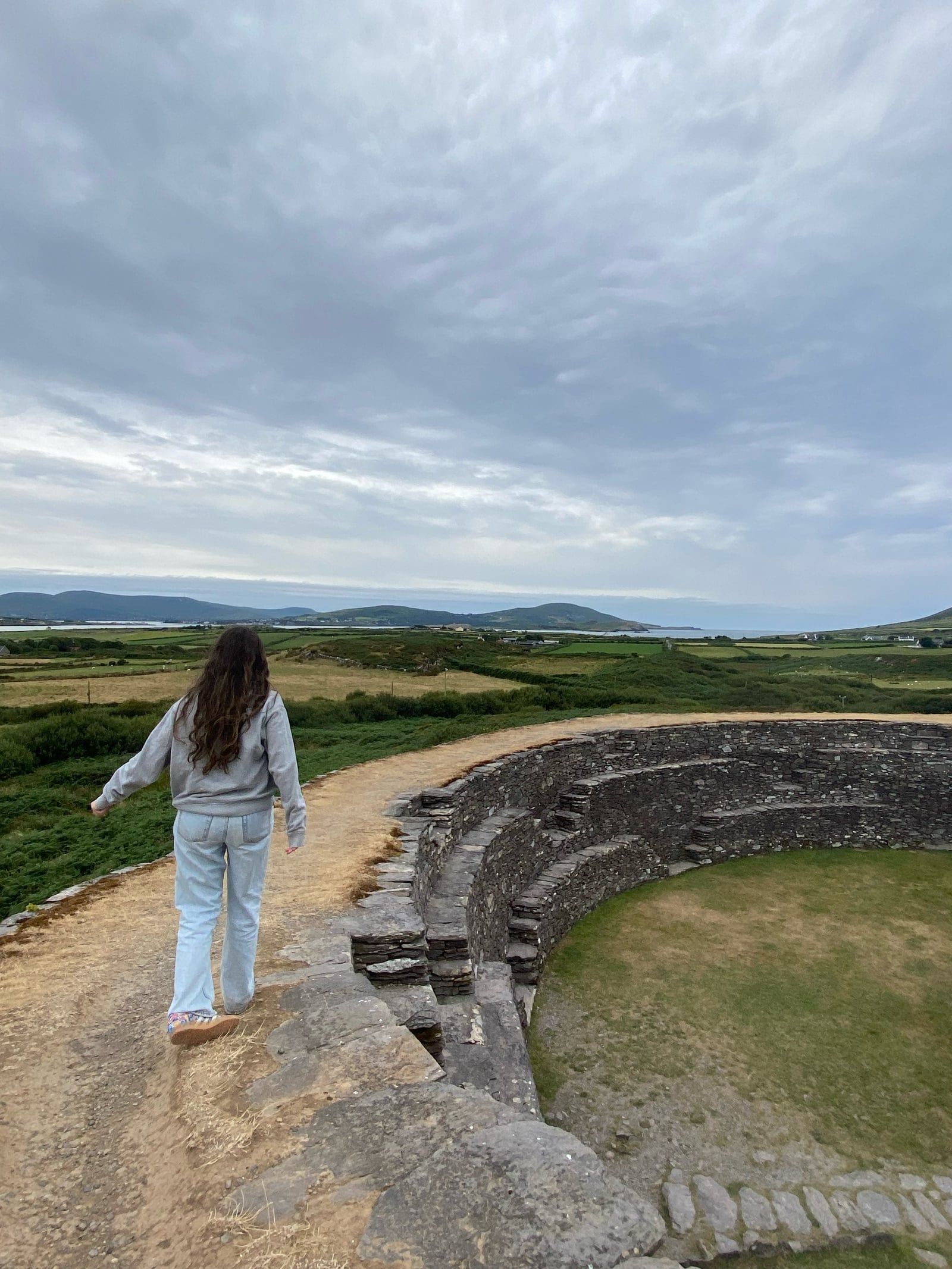
The Ring of Kerry covers 179 kilometers of the Iveragh Peninsula. These GPS-triggered audio tours guide you through the full loop, playing stories and directions automatically as you drive. You control the pace, stopping for 1,000-foot cliffs, ruined castles, and national park trails whenever you want.
A 19th-century Victorian mansion beside Muckross Lake. Queen Victoria stayed in a preserved bedroom here during her 1861 visit.
Walk 500 meters from the car park to see the Atlantic crashing below. These 1,000-foot drops offer clear sightlines to the Skellig Islands.
An Iron Age drystone ring fort near Sneem. The walls stand five meters high and four meters thick, built entirely without mortar.
A panoramic overlook inside Killarney National Park. On clear days, you can see the chain of lakes stretching toward the MacGillycuddy's Reeks.
The route branches off to Portmagee and St Finian's Bay. This is where boats depart for the 6th-century monastic settlement on Skellig Michael.
Audio tours require a bit of technical prep before you hit the road. Download the app and the specific tour data over a strong WiFi connection before leaving Killarney.
You only buy one tour per car. The audio plays through your vehicle's Apple CarPlay, Android Auto, or Bluetooth stereo connection.
The Iveragh Peninsula has spotty cellular service. Once downloaded, the apps use your phone's internal GPS chip to trigger audio without needing an internet connection.
Tour coaches drive the route anticlockwise by informal convention because the roads are too narrow to pass each other. Self-driving visitors should travel clockwise from Kenmare to avoid getting stuck behind them.
The app purchase only covers the audio guide. You pay separately for attractions like Muckross House (€9.00), Kerry Cliffs (€5.00), and Skellig Michael boat tours (€145.00).
GPS apps consume significant battery power. Pack a USB or USB-C car charger adapter that plugs into the 12V auxiliary power outlet.
Both Action Tour Guide and GuideAlong offer lifetime access with no expiration date. You can change your travel day without updating your booking.
Swipe to see more
| Action Tour Guide | GuideAlong (GyPSy Guide) | |
|---|---|---|
| App Platform | Action Tour Guide App | GuideAlong App |
| Price (Per Car) | $16.99 | $19.99 |
| Points of Interest | Covers 120-mile loop | 445+ audio points |
| Offline Mode | Yes (GPS triggered) | Yes (GPS triggered) |
Swipe to see more
The Ring of Kerry road is a public highway open 24 hours a day year-round. You can drive the route at any time, but specific attractions maintain their own schedules.
Muckross House interior opens daily at 9:15am. Closing times vary by season: 5:30pm from January to March and November to December, 6:00pm from April to June and September to October, and 7:00pm in July and August. The surrounding Killarney National Park has 24-hour pedestrian access.
The Kerry Cliffs open daily from 9:30am to 6:30pm, with last entrance at 6:00pm. Bad weather frequently forces early closures here. Skellig Michael landing tours run only from May 9 to September 30, with boats departing Portmagee between 8:00am and 11:00am.
Killarney is the traditional starting point for the 179-kilometer loop. Cork is the closest major city, located about 90 kilometers away. The drive from Cork to Killarney takes roughly 1.5 to 2 hours via the N22 national road.
Irish Rail operates direct train services from Dublin Heuston to Killarney. The journey takes about 3.5 hours and requires a change at Mallow. Tickets typically cost €30 to €60 one-way depending on the fare class.
Kerry Airport (KIR) in Farranfore handles flights from Dublin and London. The airport is a 20-minute drive from Killarney. Rental cars are available at the airport and in Killarney town center.
May, June, and September offer the best conditions for driving the route. You get long daylight hours, relatively settled weather, and fewer tour coaches on the narrow roads.
July and August bring the warmest temperatures but severe traffic congestion. Rental cars and large buses clog the coastal sections, and parking lots at Ladies View and the Kerry Cliffs fill up by mid-morning.
November through February are a slog. Daylight is short, rain is frequent, and winter storms regularly force viewpoints to close. Skellig Michael boat tours do not operate at all outside the May to September window.
Killarney National Park provides paved, wheelchair-friendly paths around the Muckross House gardens. Jaunting cars (horse-drawn carriages) offer an alternative way to see the park for those with limited mobility.
The coastal viewpoints are more difficult. The Kerry Cliffs require a 500-meter walk up a slight incline on uneven ground. There are no wheelchair rentals available on site or anywhere along the Skellig Ring.
Skellig Michael is inaccessible to anyone with mobility issues. Reaching the monastery requires climbing 618 uneven, unprotected stone steps. The site also enforces a strict minimum age of 14 for all visitors.
Towns like Killarney, Kenmare, Waterville, and Cahersiveen have public restrooms, petrol stations, and restaurants. The rural stretches between these towns have few facilities.
Running a GPS audio tour drains phone batteries quickly. Pack a USB or USB-C car charger adapter to plug into the 12V auxiliary power outlet. Do not rely on standard vehicle USB ports, as they often lack the wattage to charge a phone running location services.
Cellular service drops frequently along the coastal cliffs and mountain passes. Download your chosen audio app and the complete tour data over a strong WiFi connection before leaving your hotel.
Ireland drives on the left. The N70, N71, and N72 roads feature blind bends and narrow shoulders. Self-driving visitors should travel clockwise to avoid meeting anticlockwise tour buses head-on.
Drones are banned at all Office of Public Works (OPW) heritage sites, including national monuments along the Ring. You need advance written permission to fly over these areas. Otherwise, standard Irish Aviation Authority rules apply, including a 120-meter altitude limit.
Killarney National Park prohibits camping, open fires, and barbecues. Rangers enforce high fire-risk notices during dry spells to protect the ancient Reenadinna yew woodland. Dogs must remain on a lead at all times to protect the native red deer herd.
The 179-kilometer loop takes about 3.5 hours of pure driving. Plan for 5 to 8 hours to allow for photo stops, hikes, and listening to the audio points.
Drive clockwise, starting from Killarney toward Kenmare on the N71. Tour buses travel anticlockwise, and driving against their flow prevents you from getting stuck behind slow convoys on narrow roads.
No. You must download the app and tour data over WiFi before you leave. Out on the route, the app uses your phone's GPS chip to trigger stories automatically.
No. The purchase only covers the digital guide. You will need to pay separately at sites like the Kerry Cliffs (€5) or Muckross House (€9).
The app connects to your car's stereo via Bluetooth, Apple CarPlay, or Android Auto. The map displays on your phone screen while the narration plays through the speakers.
Yes, the Skellig Ring detour takes you to Portmagee, where boats depart. Landing tours cost around €145 and run only from May 9 to September 30, requiring advance booking.
No. Both the Action Tour Guide and GuideAlong apps charge per vehicle. One $16.99 or $19.99 purchase covers everyone listening in the car.
The audio tours have no expiration date. You get lifetime access upon purchase, so you can start the tour on any day that suits your schedule.
The N70 and N71 have sharp blind bends and narrow coastal stretches. Drivers of large vehicles should exercise extreme caution, especially when passing cyclists or oncoming tour coaches.
Drone use is strictly prohibited at national monuments and OPW heritage sites along the route. You need advance written permission to fly over these areas.
Browse verified tours with free cancellation and instant confirmation.
Find Tours


This 120-mile driving loop starts and ends in Killarney, passing through the Iveragh Peninsula's coastal cliffs and mountain passes. You'll pass the Staigue stone fort and the ruins of Ballycarbery Castle. The route looks out toward the jagged peaks of Skellig Michael from the cliffs at Portmagee. Stop in Sneem or Waterville for lunch, but keep an eye on the clock—the narrow roads make for slow going. It's a long day behind the wheel. Download the Action Tour Guide app to access the GPS-triggered narration. You buy one download for the whole car. After booking, check your email for the unique password required to unlock the content. Ensure you have a stable Wi-Fi connection for the initial download, as cell service drops once you hit the mountain passes. The purchase never expires. Use it next year if the Atlantic mist ruins the visibility today. It happens often. Narration is the only thing included; you'll still need to pay entry fees at Muckross House or the Derrynane House gardens. Check the closing times for the stone forts if you're starting after noon. Most visitors drive clockwise to avoid getting stuck behind tour buses on the narrow sections. Pick the counter-clockwise route if you're comfortable reversing on a cliff edge to let a coach pass.
For a full refund, cancel at least 24 hours before the scheduled departure time.
English


The Ring of Kerry audio tour covers 125 miles of the Iveragh Peninsula, starting and ending in Killarney. You'll drive past the 1,000-foot Kerry Cliffs and stop at Ross Castle, a 15th-century tower house on the edge of Lough Leane. The narration triggers via GPS, so the history of whiskey smugglers and medieval clans plays through your car speakers as you reach specific coordinates. It's a long day in the car. Most people need seven hours to finish the full loop with stops. Staigue Stone Fort is a highlight, with dry-stone walls standing nearly 13 feet high without mortar. If the weather's clear, pull over at Ladies View for the vista of the Killarney lakes—it's the best photo spot on the route. The app works offline, which is necessary because cell service drops frequently in the mountains near the Gap of Dunloe. Download the maps before leaving your hotel. If you're short on time, skip the Skellig Ring detour and stick to the main N70 road to save 90 minutes. The guide includes half-day and multi-day itineraries for those who want to hike or visit the sheepdog trials. You won't run out of time since the tour never expires. Pick the clockwise direction if you want to avoid getting stuck behind tour buses on the narrowest sections of the road. That's the local way to do it.
For a full refund, cancel at least 24 hours before the scheduled departure time.
English