"Ring of Kerry or Dingle Peninsula" is the question every first-time visitor to County Kerry ends up asking somewhere around the second pint. Both routes wrap around a peninsula on Ireland's south-west coast. Both deliver cliffs, ancient stone and roads jammed with sheep. Neither is a rehearsal for the other.
The Ring of Kerry circles the Iveragh Peninsula for 179km, mixing lakes, forest and mountain passes with its coastline. The Dingle Peninsula sits just north across the bay, and its signature drive, the Slea Head Loop, packs similar drama into barely a sixth of the distance. This guide sets them side by side — scenery, sights, driving conditions, towns, crowds — then tells you which to pick, or how to fit in both.
Ring of Kerry vs Dingle Peninsula at a Glance
The Ring of Kerry sits on the Iveragh Peninsula, bounded by Dingle Bay to the north and Kenmare Bay to the south. The Dingle Peninsula lies directly across that bay, one range further north. Most drivers start the Ring from Killarney, the route's traditional starting point, following the N71 to Kenmare, then looping the coast through Waterville and Cahersiveen before returning via the N72 — a 179km (111-mile) circuit. Dingle's equivalent, the Slea Head Loop out of Dingle Town, runs about 30 miles (48km), a fraction of the distance packed into cliffs and beehive huts rather than lakes and passes.
Drive either one without stopping and you're looking at roughly 3.5-4 hours behind the wheel. Nobody actually does that. Add photo stops, lunch and a couple of attraction visits, and the Ring wants a full day at minimum — many visitors give it two, folding in Killarney National Park and the Skellig Ring detour. Dingle is more forgiving: 1 to 1.5 days covers the loop plus a proper wander around Dingle Town.
| Ring of Kerry | Dingle Peninsula | |
|---|---|---|
| Route length | 179 km (111 miles) | ~48 km (30 miles) |
| Non-stop drive time | About 3.5-4 hours | About 3.5 hours |
| Realistic days needed | 1-2 days | 1-1.5 days |
| Main base town(s) | Killarney or Kenmare | Dingle Town |
| Crowd level (Jul-Aug) | Heavy tour-bus traffic | Busy but noticeably lighter |
Neither route is small. But Dingle's compact loop means you can drive it slowly and still be back in town for dinner; the Ring demands you commit to a full day or split it over two. If you're short on time, that difference alone might decide it for you.
Scenery, Landscape & Best Views
What each drive actually looks like from behind the wheel differs more than the mileage suggests. The Ring stacks lake, forest, mountain pass and coast into one long circuit; Dingle spends its whole loop on cliffs and ocean.
Killarney National Park and the Ring's Mountain Passes
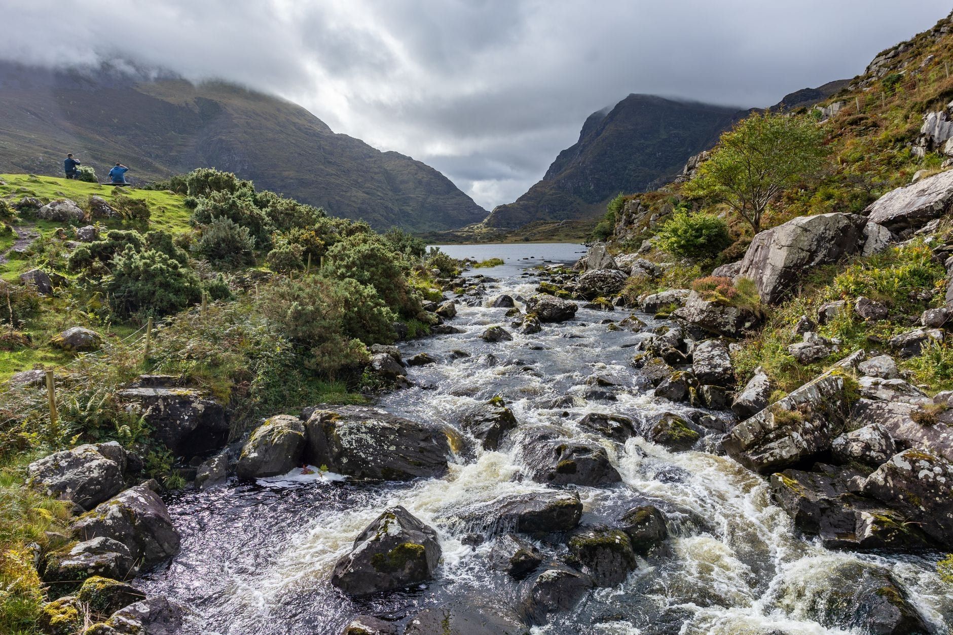
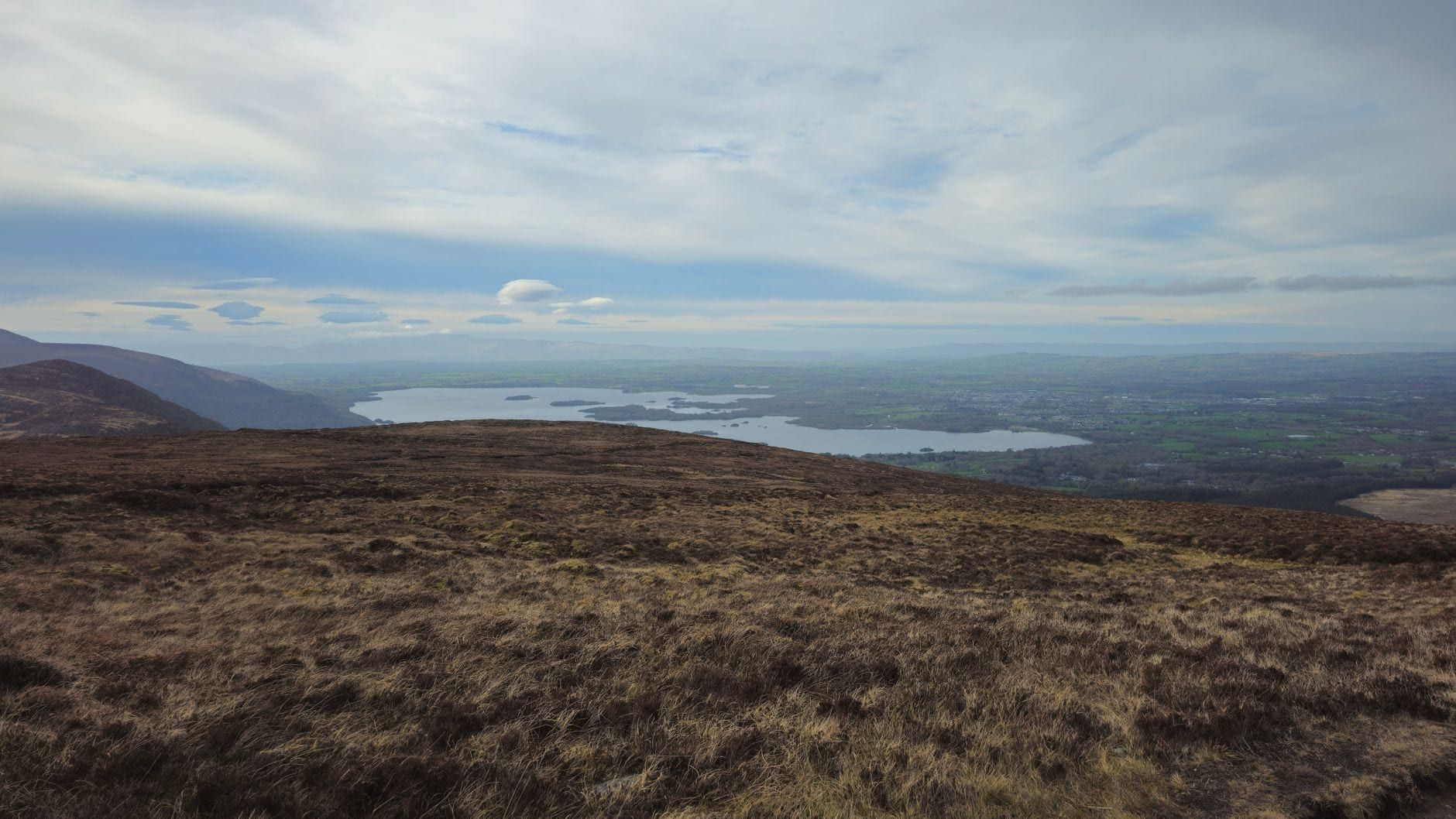
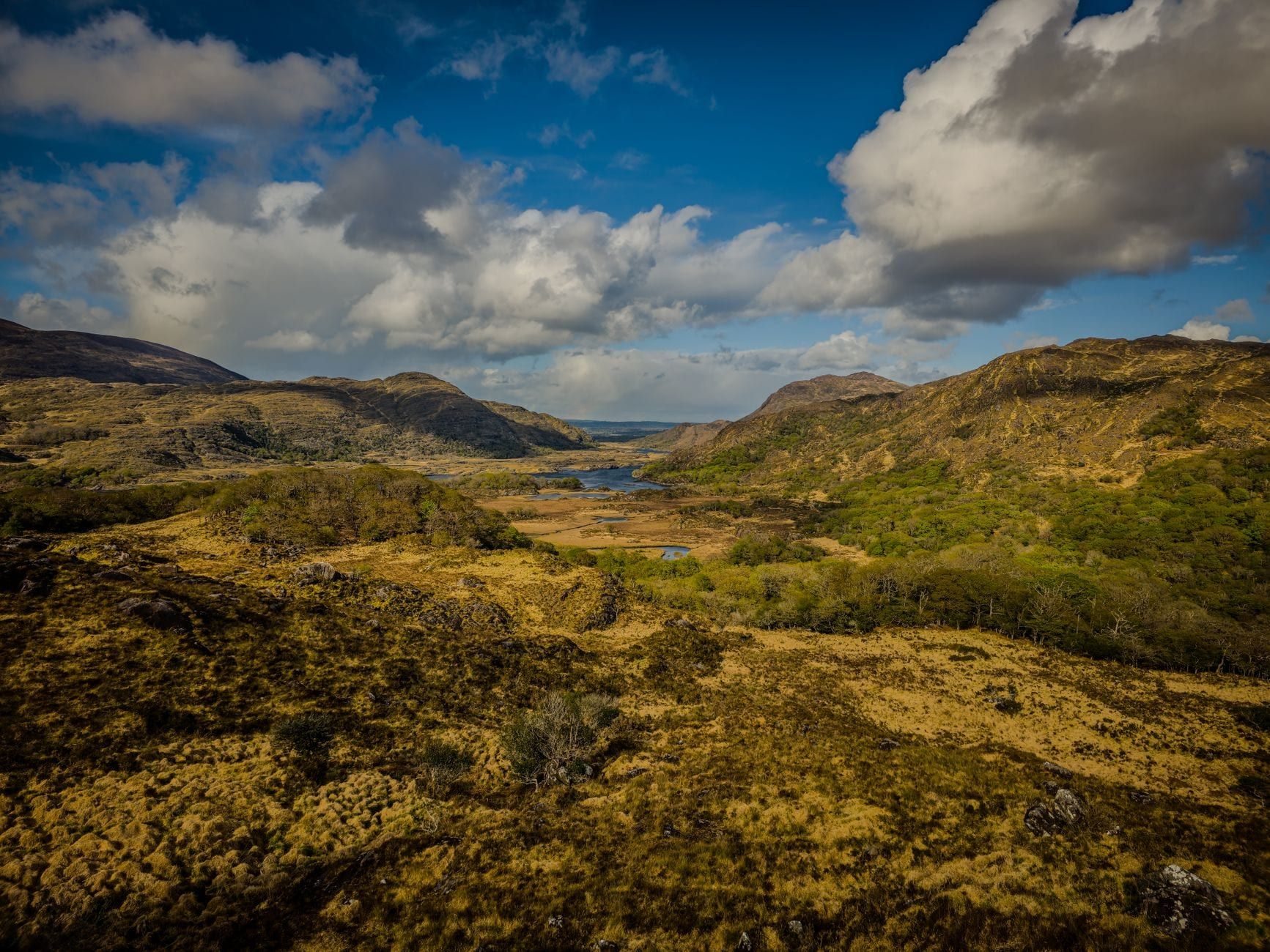
Killarney National Park opens the Ring of Kerry before the coast even starts, a UNESCO World Biosphere Reserve of oak woodland, bog and three linked lakes below the MacGillycuddy's Reeks. Torc Waterfall drops about 20 metres through the trees a short walk from the car park, and Ladies View — named for Queen Victoria's ladies-in-waiting, who admired it in 1861 — frames the lake chain against Ireland's highest mountains. Moll's Gap, a little further on, is where the scenery flips from lakeland to open coast in the space of a few bends. You can absorb most of it without leaving the car, which matters when the weather turns.
Slea Head Drive and the Blasket Coast
Dingle trades that variety for concentration. Slea Head Drive spends its whole length hugging cliffs above the Atlantic, with the Blasket Islands offshore for most of the route and Dunmore Head, mainland Ireland's westernmost point, delivering the sharpest drop of all. There's less to break up the coastline here — no lakes, no forest interlude, just close on twenty miles of cliff, ocean and stone. Photographers tend to prefer it for that reason: the light off the water is rarely blocked by tree cover, and the Blasket views hold up from a dozen different pull-offs.
Beaches: Derrynane and Rossbeigh vs Inch and Coumeenoole
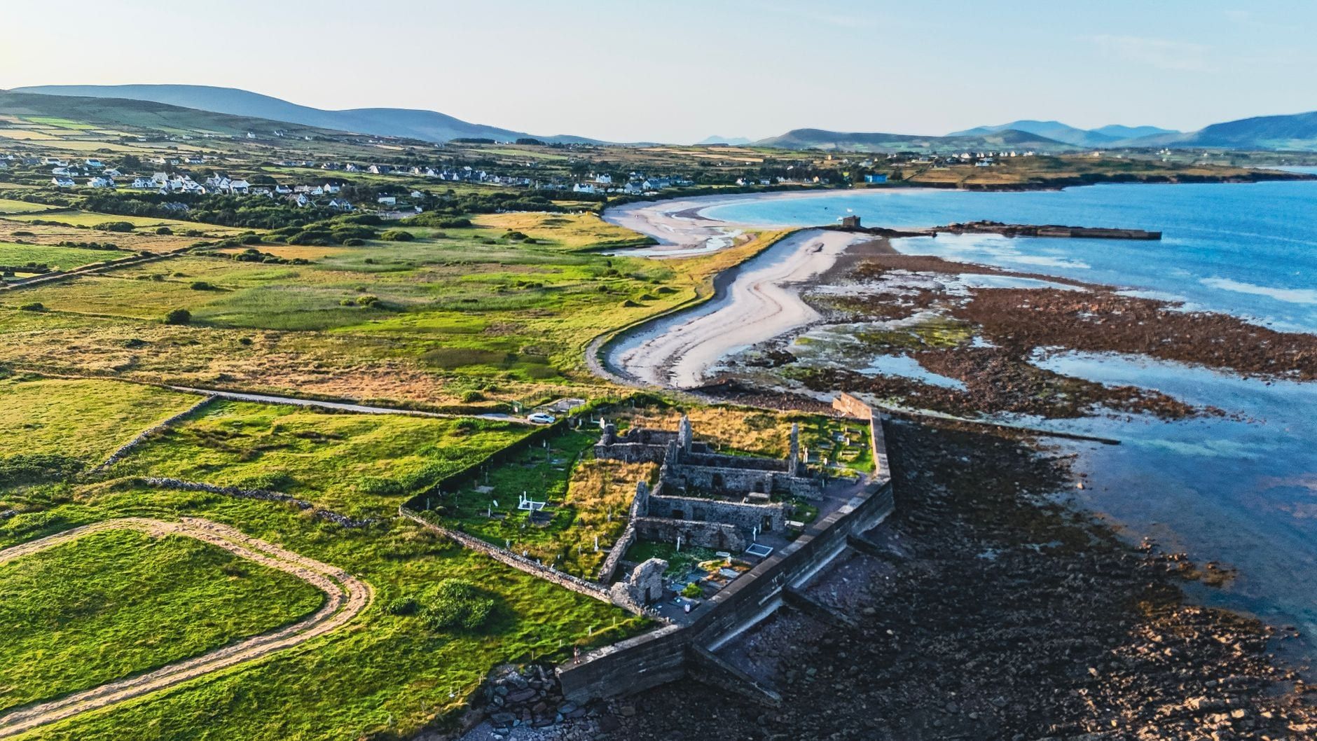
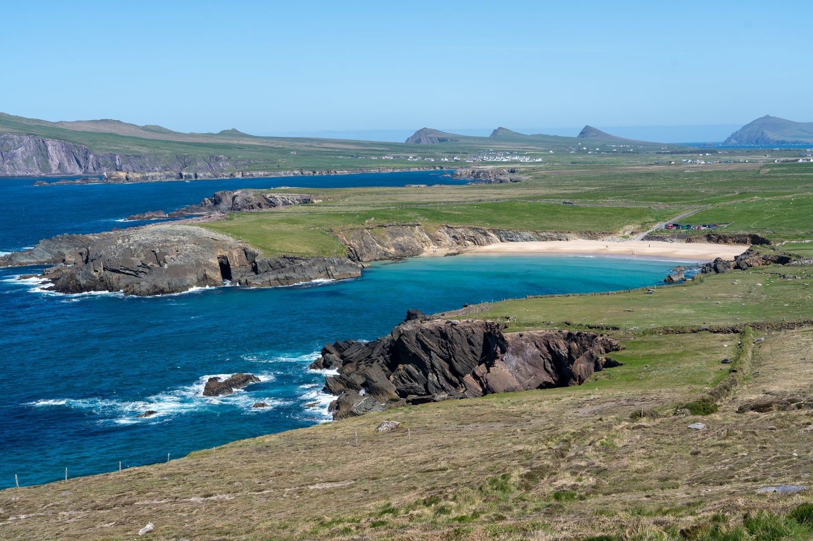
The Ring's beaches sit in sheltered coves — Derrynane near Caherdaniel, backed by dunes and the grounds of Daniel O'Connell's old home, and Rossbeigh, a long strand facing Dingle Bay. Ballinskelligs adds a quieter, dark-sand option further along the Skellig Ring. Dingle counters with Inch Beach, a four-mile strand across the mouth of Dingle Bay that catches surfers as often as walkers, and Coumeenoole, a small dramatic cove right below Slea Head. Inch is the one to bring a picnic to; Coumeenoole is the one to photograph and leave.
Cliffs and Viewpoints: Kerry Cliffs vs Dunmore Head
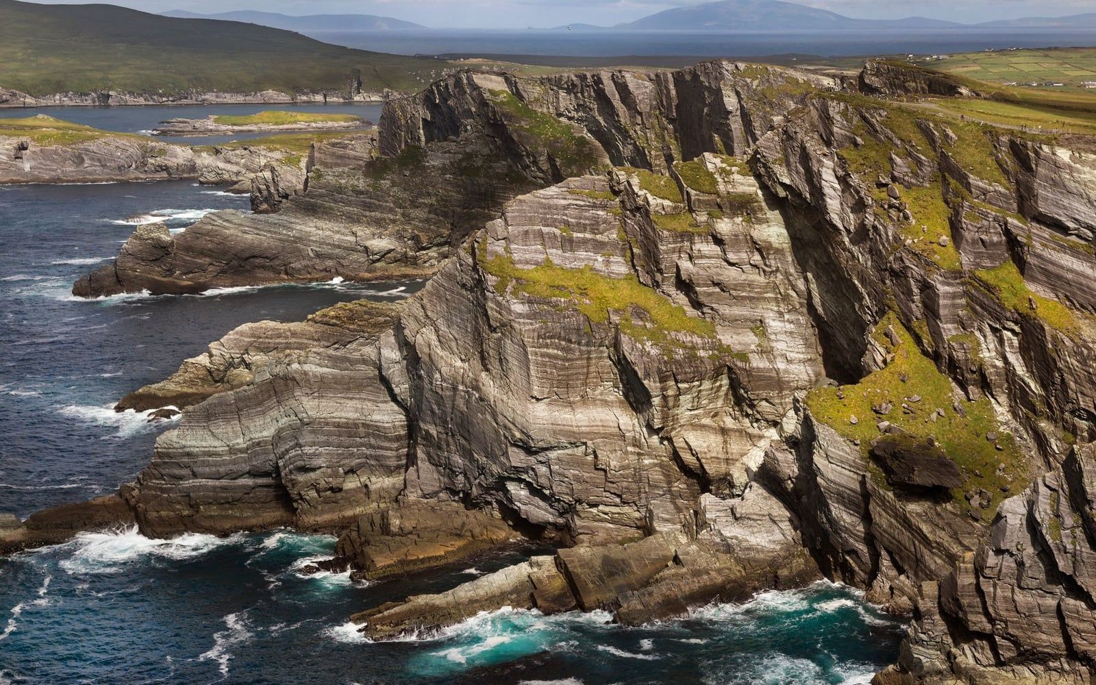
The Kerry Cliffs near Portmagee, reached via the Skellig Ring detour, are among the highest sea cliffs in the county, with an open Atlantic view toward the Skellig Islands from a short walk (about 500 metres) from the car park. On Dingle, Slea Head and Dunmore Head do the same job without an entry fee, the road running close enough to the edge that you barely need to get out of the car. If you only have time for one cliff stop on the whole trip, the Kerry Cliffs edge it, mostly for that Skellig backdrop.
Top Attractions & Historic Sites
Each route has its own density of headline sights, and they're built from different centuries. The Ring leans on Victorian houses and Iron Age forts; Dingle leans on early Christian stonework and abandoned island settlements.
Ring of Kerry Highlights
Beyond the national park, the Ring passes Muckross House, a Victorian mansion on the shore of Muckross Lake that once hosted Queen Victoria, with gardens free to enter and the house itself €9 for adults. Ross Castle anchors the lake's edge near Killarney, and Kenmare Stone Circle sits a short walk from Kenmare's main street. Further round, Cahergal Stone Fort and its Iron Age neighbour Leacanabuaile stand near Cahersiveen, two of four stone forts the route passes. For a full stop-by-stop rundown, our guide to every highlight on the route goes deeper.
The Skellig Ring and Skellig Michael
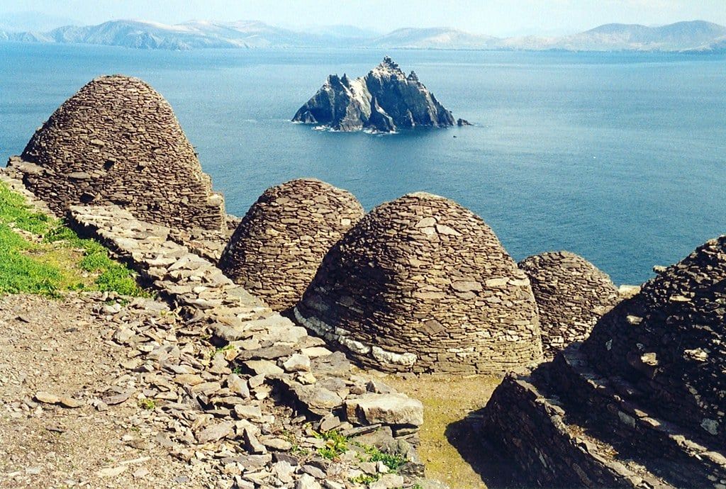
The Skellig Ring detour off the main road adds Valentia Island and the Kerry Cliffs. From Portmagee, licensed boats run to Skellig Michael, a UNESCO World Heritage island where a 6th-century monastery of beehive huts sits above 618 uneven stone steps. Landing tours run once a day, only from 9 May to 30 September, and cost roughly €130-€145 per person — they sell out weeks ahead in summer, so book directly with an operator before fixing the rest of your itinerary. Check current opening hours and entry fees before you go, since both cliff sites and boat trips depend on the weather.
Dingle Highlights
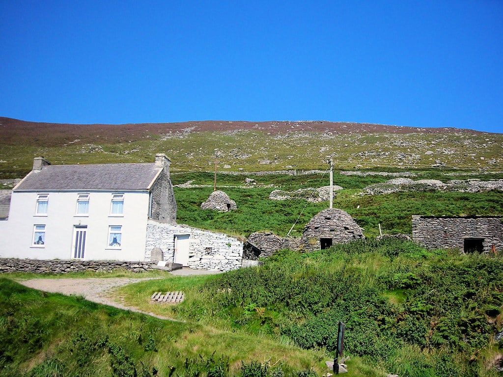
Dingle's sights read older and rougher. Gallarus Oratory, a dry-stone church shaped like an upturned boat, dates to roughly the 7th or 8th century and still sheds rain after more than a thousand years. Caher Conor's beehive huts and the Dún Beag promontory fort sit right on Slea Head Drive, both an easy pull-in from the road. Dunquin Pier, a set of switchback ramps cut into the cliff, was the old departure point for the Blasket Islands, uninhabited today and visited by boat in summer. The Conor Pass connects Dingle Town to the peninsula's north side, narrow and steep enough that it belongs in the driving-difficulty conversation, not just the scenery one.
Hiking: Kerry Way vs Dingle Way
The Kerry Way is a 215-mile (346km) long-distance trail that loosely shadows the Ring of Kerry through the Iveragh Peninsula's interior, with Carrauntoohil, Ireland's highest peak at 1,038 metres, looming over several stretches. The Dingle Way is shorter and coastal, circling the peninsula with a climb over Mount Brandon for those who want the view without committing to a multi-week trail. Walkers with a week or two lean toward the Kerry Way; a long weekend favours Dingle's version.
Driving Difficulty, Time Needed & Getting Around Without a Car
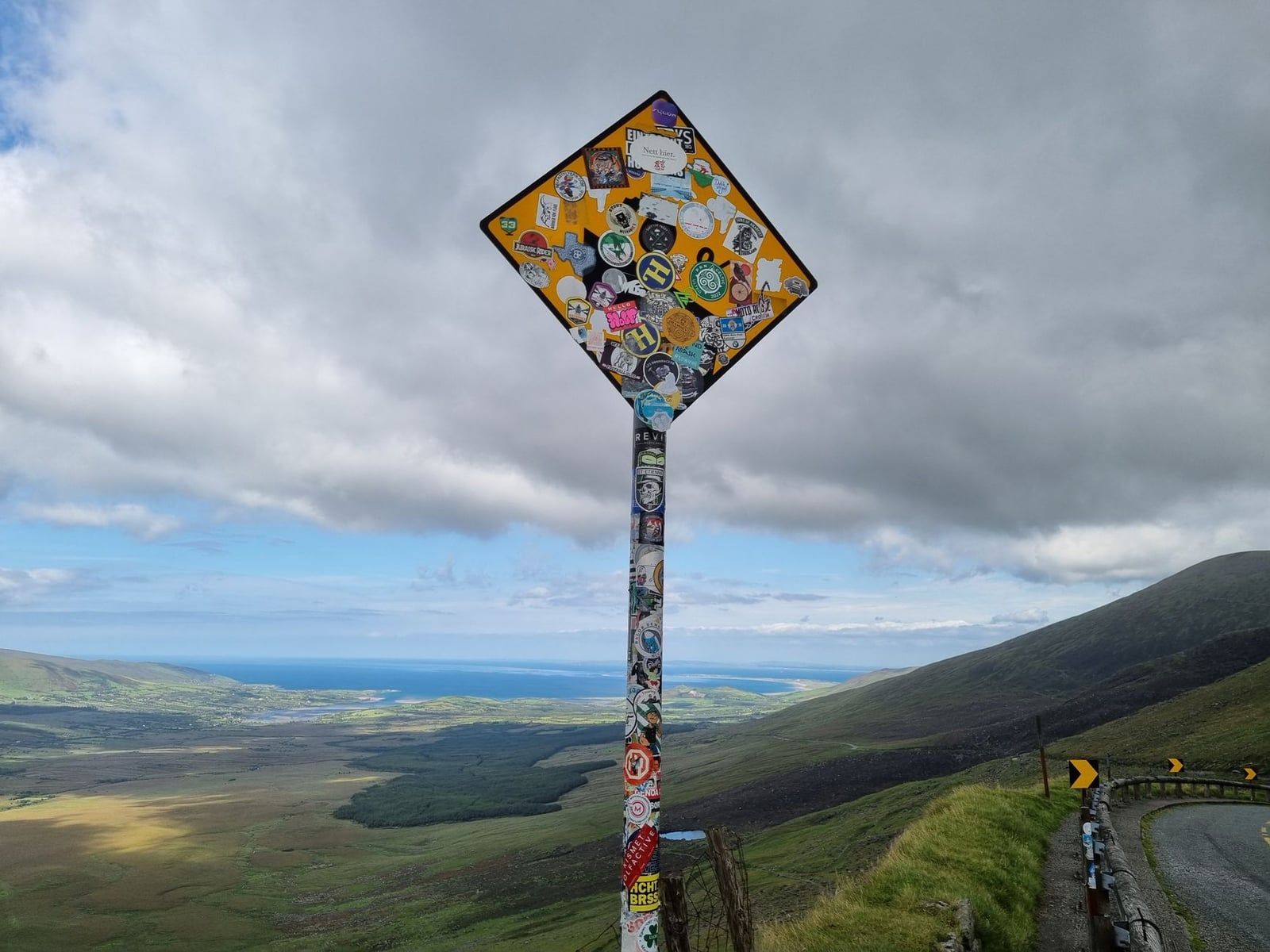
The Ring's roads run wider than Dingle's for most of the loop, though still narrow by any other country's standards. Tour coaches travel the N70 counter-clockwise via Killorglin by informal convention, because the roads are too tight for two buses to pass. Drive clockwise, via Kenmare first, and you meet fewer buses head-on and spend less time stuck behind a convoy. Dingle's tightest test is the Conor Pass — a narrow, high mountain road with steep drops and no barrier on some bends, shorter than anything on the Ring but capable of rattling a nervous driver all the same.
Budget 1-2 days for the Ring of Kerry and 1-1.5 for Dingle. May through September suits both, with late September a sweet spot: fewer coaches, softer light, attractions still fully open. July and August bring the best weather and the worst congestion — parking at Ladies View, Muckross House and the Kerry Cliffs can fill before 11am at the height of summer.
Without a car, the Ring is the easier option. More organised day tours and coach connections run from Killarney than from Dingle Town, and tours departing Killarney cover the full loop with stops built in. If you'd rather set your own pace without renting a car, a self-guided audio tour lets you drive it yourself with commentary cued to the road, and small groups can book a private tour for a custom pace instead. Dingle can be done by bus and bike, but you lose the flexibility to pull over at every viewpoint.
Accessibility is mixed on both. Killarney National Park has paved paths near Muckross House and jaunting-car rides for visitors who'd rather not walk; the Kerry Cliffs involve a level but longer walk from the car park, with no wheelchair rental on site. Skellig Michael's 618 steps and its minimum age of 14 rule it out for young children or anyone with limited mobility. Dingle's beehive huts and Gallarus Oratory sit close to road level and are generally the easier going of the two peninsulas.
Towns, Food, Culture & Crowds
Where you'd actually stay and eat differs as much as the driving does. The Ring runs on bigger, more tourist-geared towns; Dingle runs on one small harbour town with its own language and its own rhythm.
Killarney and Kenmare
Killarney is the Ring's default base — busy, well set up for tourists, with pubs running live trad sessions most nights and easy access to the national park on foot. Kenmare, twenty minutes further on, is quieter and smaller, built around a lace-making history and a cluster of seafood restaurants that punch above the town's size. Stay in Killarney for convenience; pick Kenmare if you want fewer crowds after dark.
Dingle Town
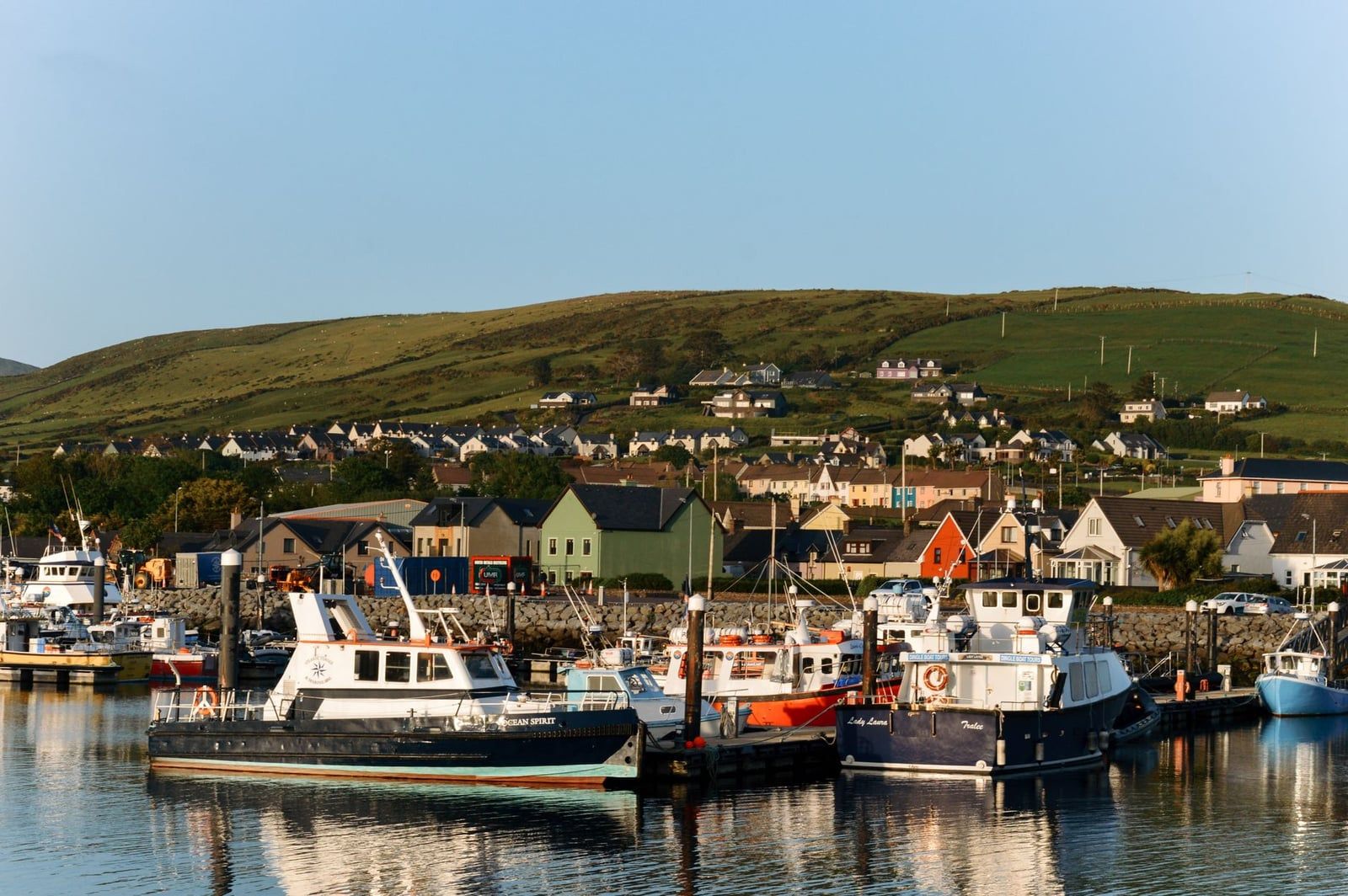
Dingle Town works on a smaller scale entirely — a working fishing harbour with a food scene built on what came off the boats that morning: chowder, oysters, a scattering of pubs where the music isn't staged for tourists. Parts of the peninsula lie within the Gaeltacht, where Irish is the everyday language and road signs run in Irish first. It shows up in the pub conversation as much as the menus. It feels like a place people actually live, not just a stop on a route.
Crowds tell a clear story. The Ring gets the tour-coach volume, with big-group buses funnelling through Killarney every morning in season. Dingle sees plenty of visitors too, but the smaller roads mean smaller vehicles, and the town absorbs the crowd better than a highway pull-off does. If crowds are your main worry, Dingle wins by a comfortable margin outside of August.
Which Should You Choose? A Decision Guide by Traveler Type
There's no universal answer here, but there is a right answer for your specific trip.
First-time visitors to Ireland
Go with the Ring of Kerry. Wider roads, more signposted stops and an easier drive make it the safer bet for a first spin on the left-hand side of an Irish road. It also has more organised tours if you'd rather not drive at all.
Families with kids
The Ring again, mostly for the infrastructure: Muckross House's farm animals and jaunting cars, paved paths, toilets and cafés at regular intervals. Dingle's beaches and sheep-dotted lanes have their own appeal, but facilities are thinner on the ground.
Couples
Dingle suits a slower, more intimate trip — smaller guesthouses, a walkable town for dinner, a shorter drive that leaves the evening free. The Ring works better for couples chasing a wider range of scenery in one day who don't mind a longer stretch behind the wheel.
Hikers and outdoor enthusiasts
The Kerry Way and Carrauntoohil pull hikers toward the Ring if you've got several days to give a proper trail. For a shorter, coastal hike, Mount Brandon and the Dingle Way suit a long weekend better.
Photographers
Dingle's concentrated cliffs and consistent Atlantic light make it the more efficient shoot, with less driving between compositions. The Ring rewards patience across a longer day, especially at Ladies View and the Kerry Cliffs near golden hour.
Short on time
With half a day, drive Dingle's Slea Head Loop — it's the shorter run and still delivers the coastline in full. With a full day, either works. With several days, do both.
Can You Do Both? Combined Itinerary
Both in one day is possible on paper — about 6 hours of non-stop driving combined — but that leaves almost no time to get out of the car. Treat it as a transit day, not a way to actually see either route.
Better sequencing: base in Killarney or Kenmare first, drive the Ring (with the Skellig Ring detour if Skellig Michael or the Kerry Cliffs are on your list), then move north to Dingle Town for a second base.
- Day 1: Killarney National Park — Muckross House, Torc Waterfall, Ladies View; overnight in Killarney or Kenmare.
- Day 2: Full Ring of Kerry loop via Kenmare, the Skellig Ring and Cahersiveen, back to Killarney.
- Day 3: Drive to Dingle Town (about 1-1.5 hours), afternoon on Slea Head Drive, overnight in Dingle.
- Day 4 (optional): Conor Pass, Gallarus Oratory and a Blasket Islands boat before heading onward.
Coming from Cork rather than Killarney? Tours from Cork cover the same Ring loop with an earlier pickup. And if you're weighing which peninsula to drive first rather than whether to skip one, our comparison of which to drive first breaks down the logistics of doing both in sequence.
FAQ
Which is better, Ring of Kerry or Dingle Peninsula?
Neither wins outright. The Ring covers more variety — lakes, mountains, forest and coast — over a longer, easier drive, and suits first-timers. Dingle is shorter, quieter, and more culturally immersive, with Gaeltacht Irish and a livelier small-town music scene.
Can you drive the Ring of Kerry and Dingle Peninsula in one day?
Technically, at around 6 hours of combined non-stop driving. In practice it's rushed and leaves no real time at any stop, so splitting the two across at least two days works far better.
How many days do you need for the Ring of Kerry?
One full day covers the loop with stops, around 6-8 hours, but two days lets you add Killarney National Park properly and the Skellig Ring detour without rushing.
How many days do you need for the Dingle Peninsula?
About 1 to 1.5 days. The Slea Head Loop itself takes roughly 3.5 hours to drive without stopping, leaving the rest for Dingle Town and the Conor Pass.
Which is more scenic, Ring of Kerry or Dingle?
It's close to a matter of taste. The Ring offers more variety across a longer route — lakes, mountains, forest and coast together — while Dingle concentrates dramatic coastline into a shorter, more intense drive.
Is the Ring of Kerry too touristy?
It can feel that way in July and August, when tour coaches queue through Killorglin and popular stops. Driving clockwise and visiting in May, June or September cuts the crowding sharply.
Is there a quieter alternative to both?
The Ring of Beara, a roughly 137km loop just south, has similar scenery with far fewer visitors, worth considering if you want the same drama without the coach traffic.
Do I need a car to visit the Ring of Kerry or Dingle Peninsula?
Not strictly. More organised day tours and transport run from Killarney for the Ring, making it the easier one to do without a car. Dingle can be reached by bus, but you'll lose the flexibility to stop at viewpoints and beaches.