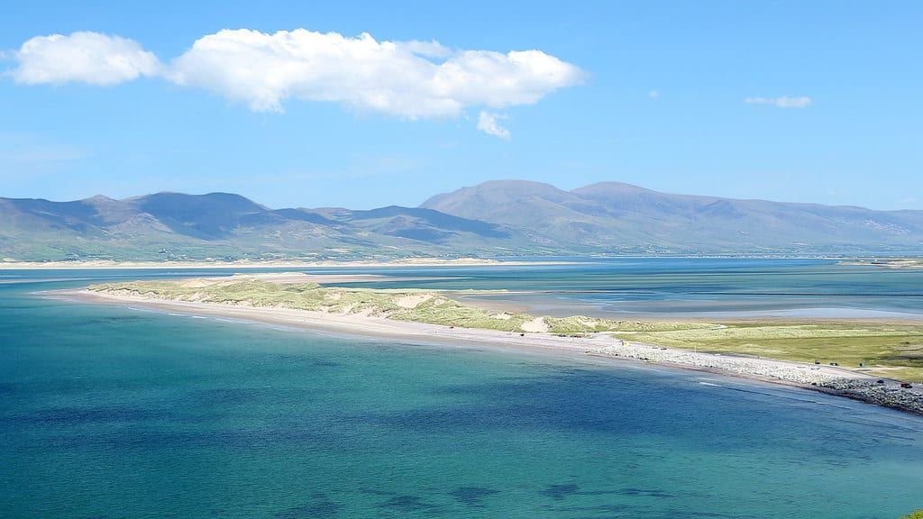
Two coastal loops dominate any conversation about driving in County Kerry: Slea Head Drive around the tip of the Dingle Peninsula, and the Ring of Kerry around the much larger Iveragh Peninsula next door. Both promise cliffs, beaches and the kind of light that makes phone cameras look professional. Neither needs a booking, a permit, or a toll payment.
The real decision is about time, patience, and what you actually want out of a day behind the wheel. This guide lines up the two routes on distance, driving time, cost and crowd level, then tells you plainly which one to drive first. For deeper background on the longer route, see our Ring of Kerry overview.
Quick Verdict: Slea Head Drive vs Ring of Kerry at a Glance
Slea Head Drive is the short, concentrated coastal loop near Dingle. The Ring of Kerry is the long, varied circuit that starts and ends in Killarney. Both roads are public and free to drive; the real difference is how much time and patience you've got.
| Factor | Slea Head Drive | Ring of Kerry |
|---|---|---|
| Distance | 47 km (29 miles) | 179 km (111 miles) |
| Time needed | ~1 hr without stops; 3–5 hrs with stops | ~3.5 hrs without stops; 5–8 hrs with stops |
| Start & end point | Dingle Town | Killarney |
| Driving direction | Clockwise only (mandatory) | Clockwise recommended (avoids tour coaches) |
| Crowd level | Lighter overall; small car parks fill fast in summer | Busier, especially July–August coach traffic |
| Cost & parking | Free; €1 honesty box at Dunmore Head; paid parking in Dingle town only | Free road; paid attractions along the way, e.g. Muckross House, Kerry Cliffs |
Pick Slea Head Drive if you've got half a day, want tight cliff-and-beach scenery, and don't want to fight traffic. Pick the Ring of Kerry if you want a full day with mountains, lakes, castles and villages strung along one road. Got three days in Kerry? Don't choose — drive both, on separate days.
Slea Head Drive: Route Basics and Highlights
Slea Head Drive loops out from Dingle Town through the Corca Dhuibhne Gaeltacht, one of Ireland's largest Irish-speaking regions — road signs here run in Irish first, English second. The circuit covers 47km (29 miles) and takes about an hour without stopping; give it 3 to 5 hours if you actually plan to get out of the car. One rule isn't optional: traffic runs clockwise past Ventry, Slea Head itself, and Dunquin, since the road narrows to a single lane on several bends with no room for two-way traffic.
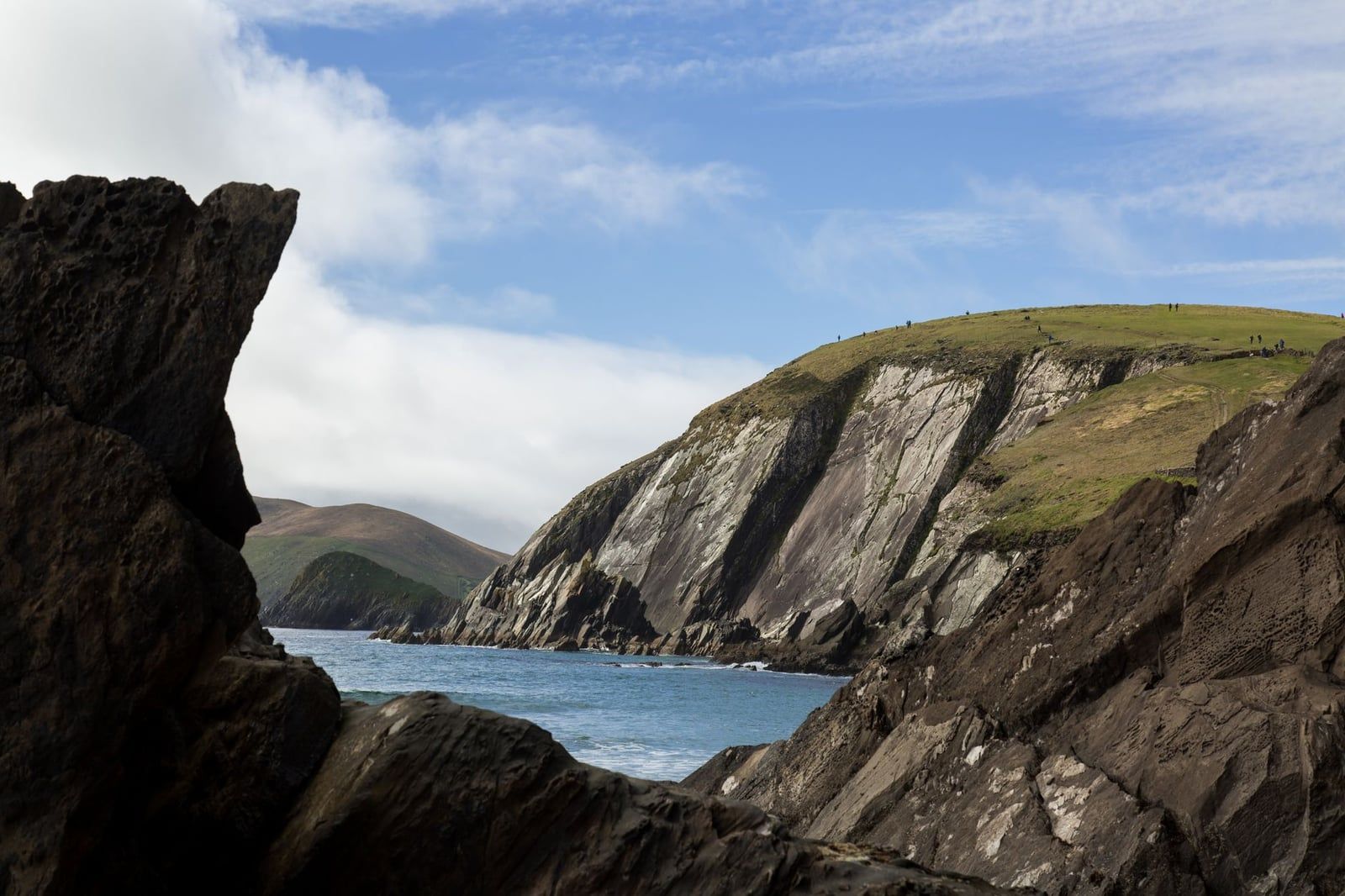
Ventry Beach and Coumeenoole Beach
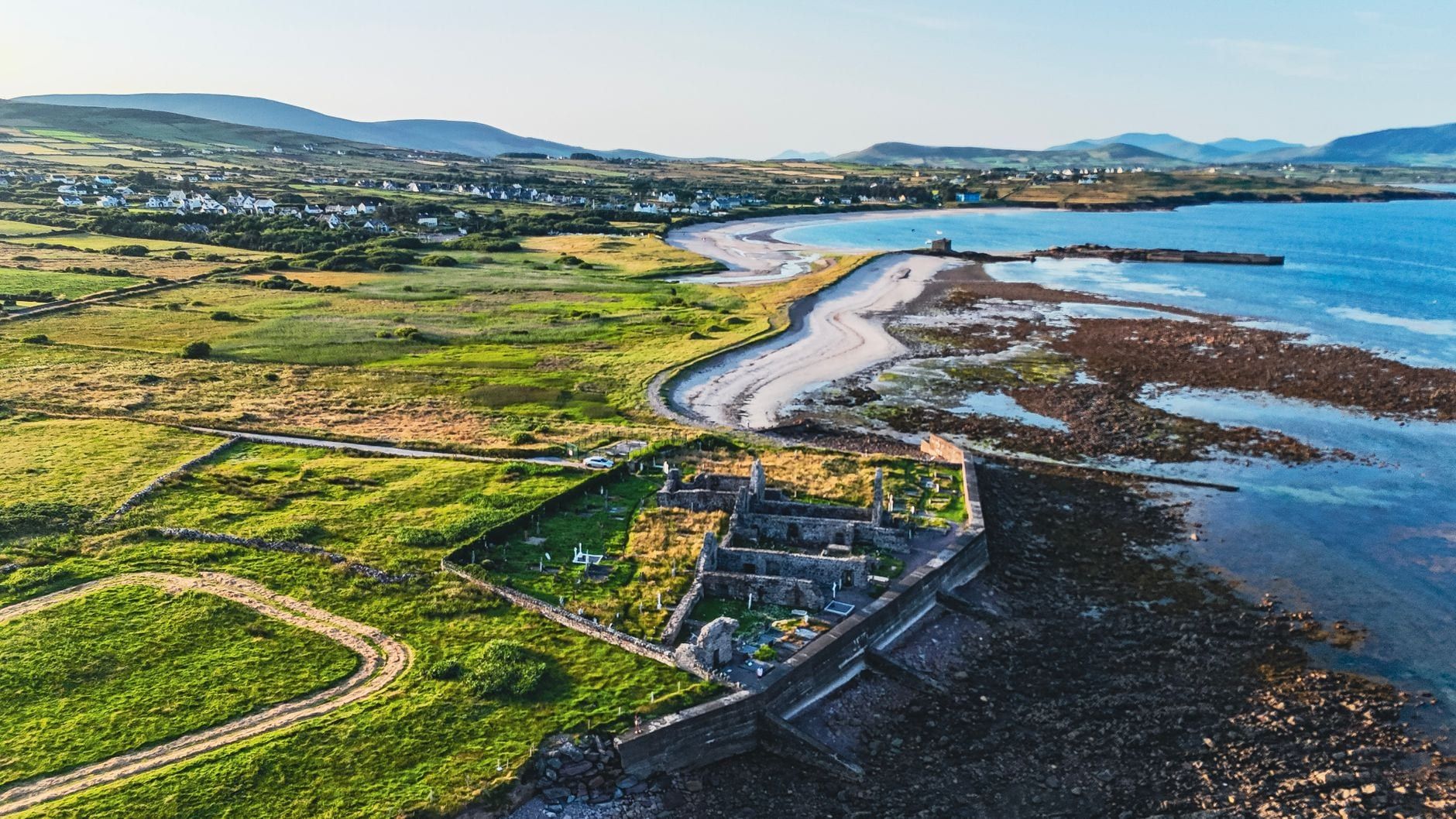
Ventry Beach is the first big stretch of sand after leaving Dingle, a wide curve of strand backed by low dunes and usually the quietest of the drive's beaches. Coumeenoole Beach sits further on, tucked beneath Dunmore Head, with a free car park that's often the first to fill on a summer morning.
Dunmore Head and Dunquin Pier
Dunmore Head is the westernmost point on mainland Ireland, a headland with cliffs dropping into the Atlantic. It appeared as a filming location in Star Wars: The Last Jedi, and the short path down asks for a €1 honesty-box donation. Dunquin Pier, a little further on, has free parking and a quieter stop before the road curves toward Clogher Strand, a rougher stretch of coast worth a photo but not much more.
Gallarus Oratory and the Beehive Huts
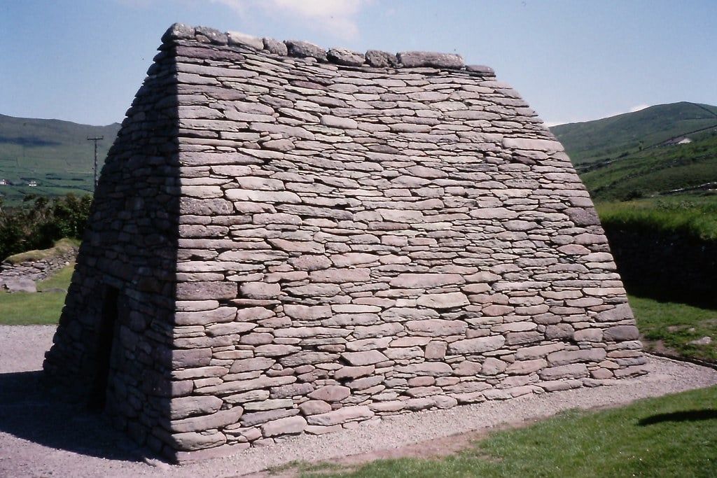
Gallarus Oratory is one of Ireland's best-preserved early Christian churches, a dry-stone building shaped like an upturned boat, built without a drop of mortar. Nearby clusters of beehive huts, known locally as clochàin, use the same stone-corbelling technique on a smaller, domestic scale. Both sit just off the main loop and reward a short stop rather than a long one.
Parking costs nothing along the entire loop except in Dingle town centre, where meters apply once you're back off the road. That one €1 donation at Dunmore Head is close to the total cost of a full lap of the peninsula.
Ring of Kerry: Route Basics and Highlights
The Ring of Kerry circles the Iveragh Peninsula, Ireland's largest, starting and finishing in Killarney. At 179km (111 miles) it's roughly four times the length of Slea Head Drive: about 3.5 hours of pure driving, though most visitors take a full day, 5 to 8 hours, once photo stops and lunch are added. Tour coaches travel anticlockwise via Killorglin by informal convention, since the narrow sections can't fit two buses passing — self-drive visitors are usually told to go clockwise, via Kenmare first, to stay ahead of the convoy. Arriving from Cork or Dublin, check directions and transport options before setting a start time.
Killarney National Park: Ross Castle, Muckross Abbey and Torc Waterfall
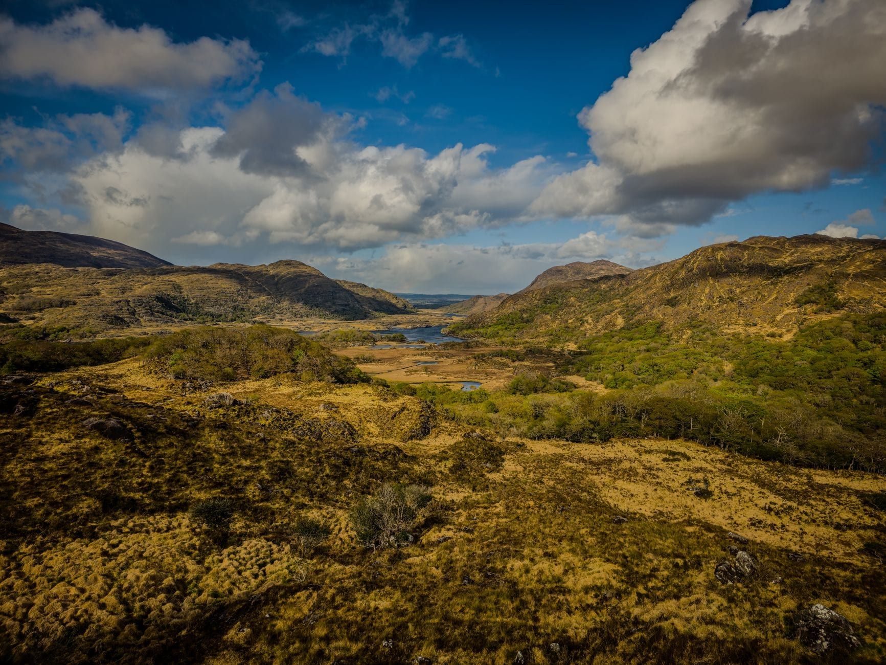
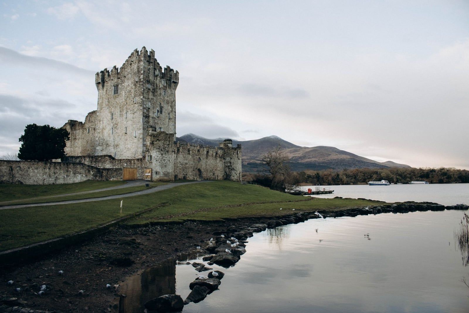
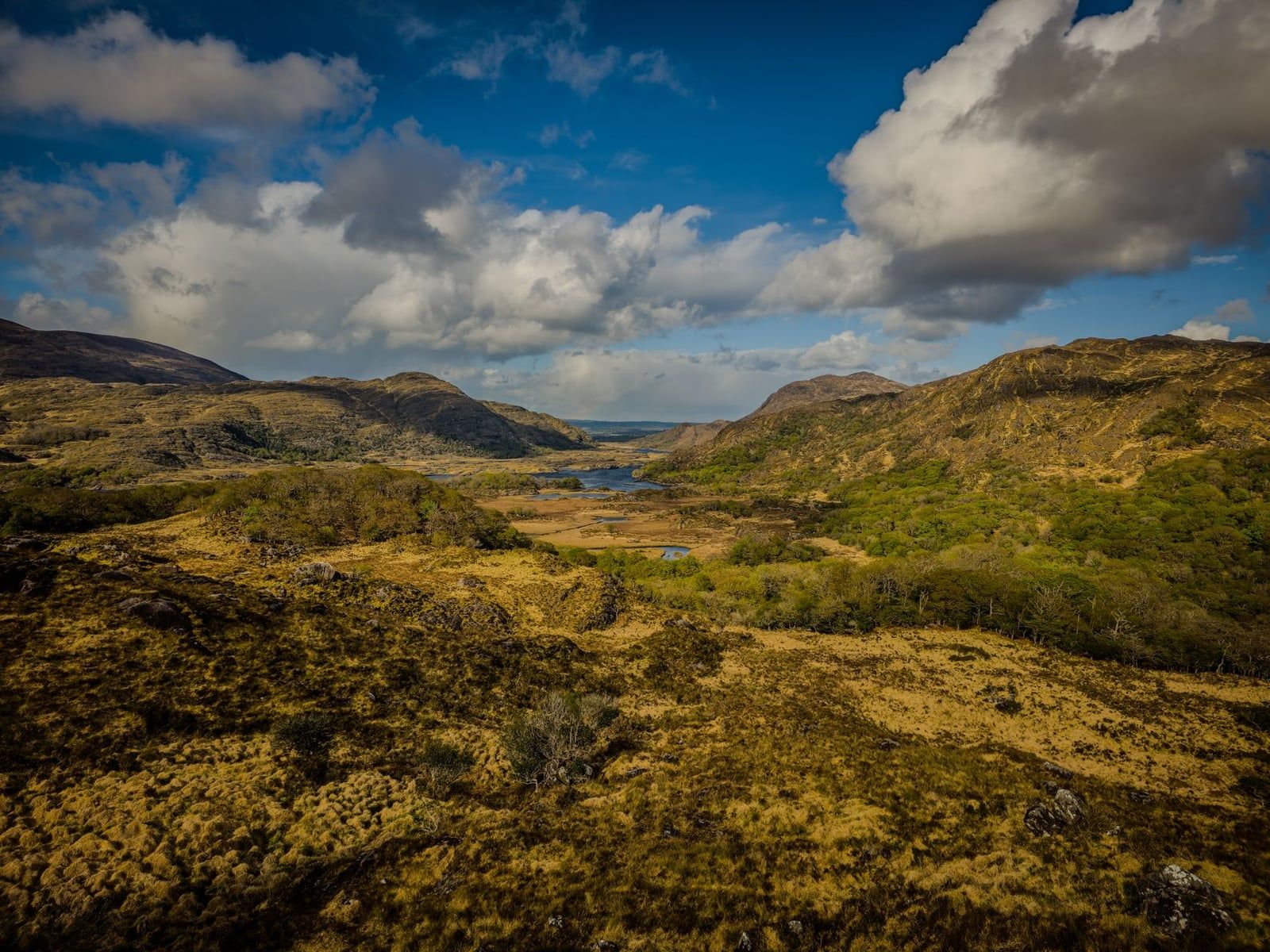
Killarney National Park sits right at the start of the loop, and it's worth treating as a stop in its own right rather than a drive-through. Ross Castle, a 15th-century tower house on the lakeshore, and Muckross Abbey, a roofless Franciscan friary, are both a short walk from parking. Torc Waterfall drops through oak woodland a few minutes further on, and Ladies View — named after Queen Victoria's ladies-in-waiting, who admired it during her 1861 visit — gives the panorama of the lakes chain toward the MacGillycuddy's Reeks.
Moll's Gap, Derrynane and Rossbeigh
Moll's Gap is the high point of the loop's mountain section, a pull-in with views back over the Killarney valley before the road drops toward the coast. Near Caherdaniel, Derrynane Beach fronts Derrynane House, the family home of Daniel O'Connell, 'The Liberator', now inside Derrynane National Historic Park. Further north, Rossbeigh Strand runs for kilometres along Dingle Bay, close enough that on a clear day you can see the peninsula you didn't drive.
Villages: Sneem, Waterville, Cahersiveen and Kenmare
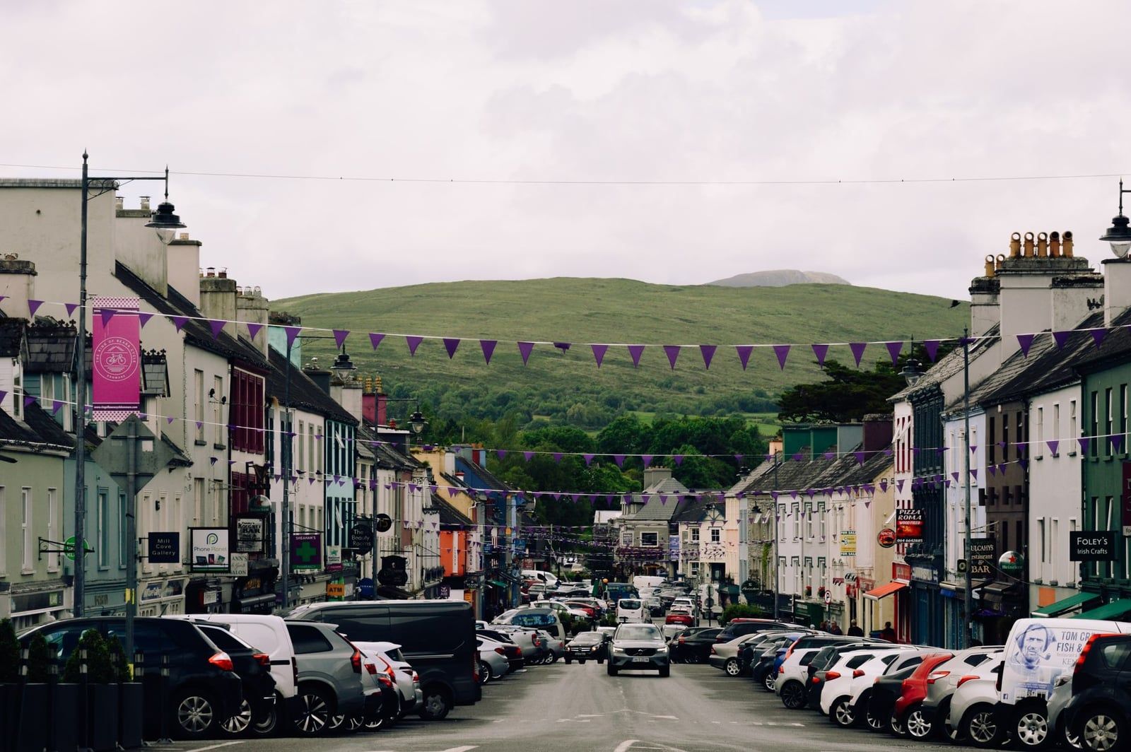
Four villages give the drive its rhythm: Sneem, with brightly painted terraces around a village green; Waterville, a seafront town looking out toward the Skelligs; Cahersiveen, the gateway to the Skellig Ring; and Kenmare, a heritage town known for lace-making and seafood restaurants near the loop's southern start.
The Skellig Ring Detour
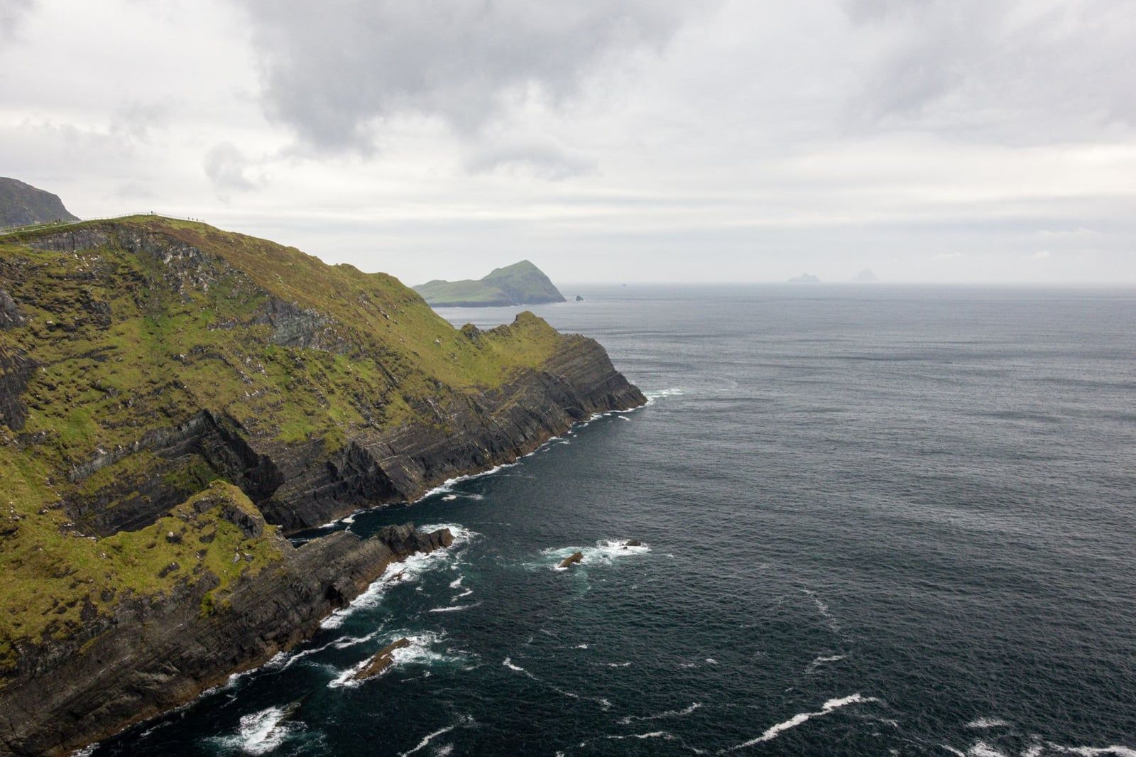
The Skellig Ring is an optional loop off the main route through Portmagee and Valentia Island, adding about 30km and 45 minutes of driving before stops. It's where you'll find the Kerry Cliffs, some of the highest sea cliffs in Kerry with a clear view out to Skellig Michael, the UNESCO-listed island where a 6th-century monastery still stands. Landing tours to Skellig Michael run daily only between 9 May and 30 September, cost roughly €145 per person, and involve climbing 618 uneven stone steps — book directly with an operator months ahead, since seats sell out fast. The Kerry Cliffs' hours shift with the season and weather, so check opening hours and entry fees before you set out. For a stop-by-stop breakdown of every highlight, see our complete guide to Ring of Kerry stops.
Head-to-Head: Scenery, Driving Difficulty, Crowds, History and Cost
Length and start points only tell half the story. Here's where the two routes actually diverge once you're behind the wheel.
| Slea Head Drive | Ring of Kerry | |
|---|---|---|
| Scenery | Concentrated Atlantic drama: cliffs, beaches and coast packed into 47km | Broader mix: mountains, lakes, beaches and coastal cliffs over 179km |
| Driving difficulty | Narrow single-lane sections, mandatory clockwise flow, tight bends near Dunquin | Longer but generally wider N70/N71 roads, easier for nervous drivers |
| Crowds | Lighter overall, but small car parks at Coumeenoole and Dunmore Head fill fast | Heavier tour-coach traffic July–August, especially near Killarney |
| History & archaeology | Early-Christian sites clustered close together: Gallarus Oratory, beehive huts, ogham stones | Castles and abbeys spread along the loop: Ross Castle, Muckross Abbey, Staigue Fort |
| Without a car | Guided tours run from Dingle and Killarney, but no public bus covers the stops | More organised day tours depart Killarney daily, the easier no-car option |
History runs deeper but tighter on the Dingle side: Gallarus Oratory, the beehive huts and a scatter of ogham stones sit within a few kilometres of one another. The Ring of Kerry's history is spread thinner across a much longer route — Ross Castle and Muckross Abbey near Killarney, Staigue Fort's five-metre drystone walls near Sneem, and the ruined abbey at Ballinskelligs further west.
Both roads are free to drive. Slea Head Drive's only cost is that €1 Dunmore Head donation and paid parking in Dingle town centre. The Ring of Kerry is free too, but its attractions add up if you stop at all of them: €9 for Muckross House, €5 for the Kerry Cliffs, and up to €145 for a Skellig Michael landing tour if you detour onto the Skellig Ring.
Killarney has the deeper bench of guided day tours for anyone without a rental car, running daily in season. Dingle has fewer operators but still covers Slea Head Drive for those who'd rather not drive it themselves. Neither route works on a public bus timetable alone — if flexibility matters more than saving money, a private tour lets you set your own stops on either road.
Which Drive Should You Choose?
- Half a day, or driving nerves: Slea Head Drive over the Ring of Kerry.
- A full free day, want maximum variety: Ring of Kerry.
- Concentrated coastal photography and Gaeltacht culture: Slea Head Drive.
- First trip to Ireland, want the famous name and easy tours: Ring of Kerry.
First-timers to Ireland tend to lean toward the Ring of Kerry: the roads are wider, the name recognition sells the day, and tours from Killarney are far more plentiful. Repeat visitors, or anyone who's already ticked off the famous drive, often prefer Slea Head for its shorter loop and thinner crowds outside the Dunmore Head car park.
If you can only manage one afternoon in Kerry, don't try to stretch the Ring of Kerry into it — you'll spend more time driving than looking. Slea Head Drive fits an afternoon properly, cliffs, beach and oratory included.
Can You Do Both? Combining Slea Head Drive and the Ring of Kerry
Driving both routes in a single day means roughly 6 hours behind the wheel before a single photo stop, so realistically you're looking at 12 hours or more once Killarney National Park and Gallarus Oratory get added in. It's possible. It isn't a good day out — you'll be back in the car every time the view gets interesting.
Three days work far better. Spend day one in Killarney National Park itself — Ross Castle, Muckross House, maybe a jaunting-car ride through the woods. Day two is the full Ring of Kerry loop, based in Killarney or Kenmare. Then move to Dingle Town and give Slea Head Drive its own unhurried day three. For the drive itself, a self-drive audio guide keeps you from missing the highlights while you're the one holding the wheel.
May, June and September give the best odds of clear views and thin traffic on both roads. July and August are warmest but also busiest — tour coaches queue at Ladies View and the Coumeenoole car park fills before 10am. September trades a little warmth for noticeably quieter roads and softer evening light, and it's when most seasoned Kerry visitors plan to go.
FAQs
Is Slea Head Drive better than the Ring of Kerry?
Neither wins outright — it depends on your time and priorities. Slea Head Drive is shorter, quieter and just as scenic per kilometre; the Ring of Kerry covers more ground and mixes in mountains, lakes and castles that Slea Head doesn't have. Short on time or after a quieter drive, choose Slea Head. Want the fullest single-day mix, choose the Ring.
How long does the Slea Head Drive take?
About an hour to drive the 47km loop without stopping. With stops at the main beaches, Dunmore Head and Gallarus Oratory, budget 3 to 5 hours.
How long does the Ring of Kerry take?
About 3.5 hours of pure driving for the 179km loop. Most visitors take a full day, 5 to 8 hours, and some spread it over two days to fit in Killarney National Park and the Skellig Ring properly.
Can you do both in one day?
Technically yes, but it's roughly 6 hours of driving alone, so a combined day realistically runs 12 hours or more and leaves little time to get out of the car at either route.
Which direction should you drive Slea Head Drive?
Clockwise, past Ventry and Dunquin. It's a mandatory traffic-flow and safety rule on the narrow single-lane sections, not just a suggestion.
Do you need a car for either route?
For independent driving, yes. Neither route works on a public bus timetable, though guided day tours from Killarney cover the Ring of Kerry and operators from Dingle and Killarney also run Slea Head Drive for travellers without a rental car.
Is there a fee to drive either route?
No, both are free public roads. Slea Head Drive has free parking everywhere except Dingle town centre, plus a €1 honesty-box donation at Dunmore Head. The Ring of Kerry is free to drive too, though attractions along it charge separately, from €5 at the Kerry Cliffs to around €145 for a Skellig Michael landing tour.
What is the best time of year to drive these routes?
May through September, for daylight and settled weather. July and August are warmest but bring the heaviest tour-coach traffic on both roads; September offers thinner crowds and softer light.